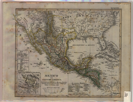
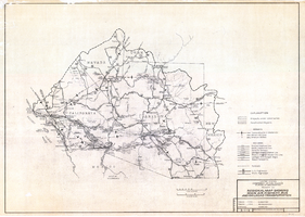
Still Image
A static visual representation


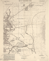
Las Vegas NE quadrangle
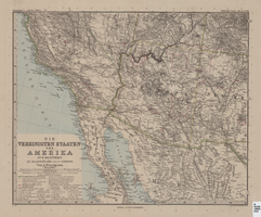
Image
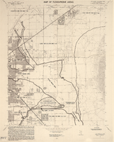
Las Vegas SE quadrangle
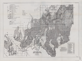
Image

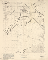
Las Vegas SW quadrangle
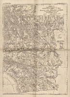
Image
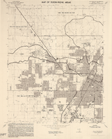
Las Vegas NW quadrangle
Image
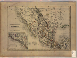
A static visual representation
Image
Image
Image
Image
