Skip to main content
Main navigation
Finding Aids
Digital Projects
African American Experience in Las Vegas
Charles Saladino Landscape Architecture Collection
Culinary Union Photograph Collection
Dino at the Sands
Dreaming the Skyline
Entertainment
Historic Landscape of Nevada
Hoover Dam
Jamey Stillings
Menus: The Art of Dining
Nevada Test Site Oral History Project
Newspapers
Oral Histories Collection
Photograph Collections
Rebel Yell Newspaper
Showgirls
Southern Nevada: The Boomtown Years 1900-1925
Southern Nevada History in Maps
Southern Nevada Jewish Heritage Project
UNLV CSUN Records
Union Pacific Railroad Water Documents
Walking Box Ranch Collection
Welcome Home Howard
About
Request Images
Help
Provide Feedback
Special Collections Home
Search the Special Collections and Archives Portal
Search
Search
Breadcrumb
Home
Still Image
A static visual representation
Authority Sources
DCMI Type Vocabulary
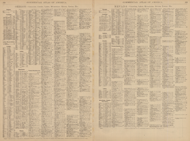
Rand-McNally new commercial atlas map of Nevada, 1912, side 2
Image
View
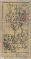
Map of a part of southern Nevada showing ground-water conditions, 1914
Image
View
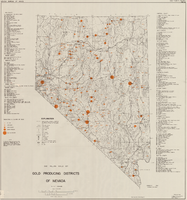
Map showing gold producing districts of Nevada, January 1967
Text
View
Automobile road map of the state of Nevada, circa 1930
Text
View
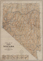
Automobile road map of the state of Nevada, circa 1930, side 1
Image
View
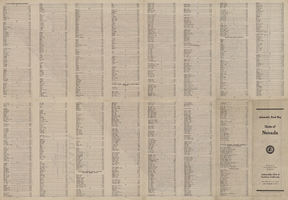
Automobile road map of the state of Nevada, circa 1930, side 2
Image
View
Map of desert area in southern Nevada and southeastern California, circa 1955
Text
View
Map of desert area in southern Nevada and southeastern California, circa 1955, side 1
Image
View
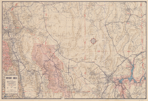
Map of desert area in southern Nevada and southeastern California, circa 1955, side 2
Image
View
Map showing location of the Las Vegas & Tonopah Railroad from Las Vegas to Bullfrog, Nevada, 1906
Image
View
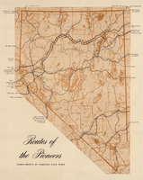
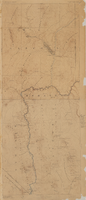
Map showing eighteenth- and nineteenth-century pioneer routes through the state of Nevada
Image
View
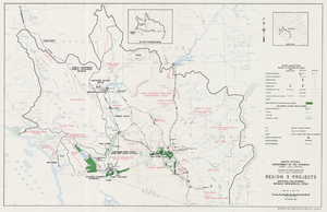
Map of Region 3 projects, Arizona-California-Nevada-New Mexico-Utah, September 1967
Image
View
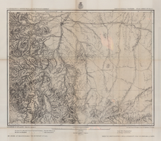
Map of part of central Colorado, May 7, 1877
Image
View
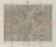
Map of economical features of Southwest Colorado, San Juan mining region, circa 1877
Image
View
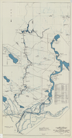
Map and operational diagram, lower Colorado River, Lees Ferry to Gulf of California, May 1957
Image
View
Map of Lincoln County, Nevada and Mohave County, Arizona area, 1892
Image
View
Map of Lincoln County, Nevada and Mohave County, Arizona area, 1892, side 1
Image
View
Map of Lincoln County, Nevada and Mohave County, Arizona area, 1892, side 2
Image
View
Pagination
First page
« First
Previous page
‹‹
…
Page
2125
Page
2126
Page
2127
Page
2128
Current page
2129
Page
2130
Page
2131
Page
2132
Page
2133
…
Next page
››
Last page
Last »