Skip to main content
Main navigation
Finding Aids
Digital Projects
African American Experience in Las Vegas
Charles Saladino Landscape Architecture Collection
Culinary Union Photograph Collection
Dino at the Sands
Dreaming the Skyline
Entertainment
Historic Landscape of Nevada
Hoover Dam
Jamey Stillings
Menus: The Art of Dining
Nevada Test Site Oral History Project
Newspapers
Oral Histories Collection
Photograph Collections
Rebel Yell Newspaper
Showgirls
Southern Nevada: The Boomtown Years 1900-1925
Southern Nevada History in Maps
Southern Nevada Jewish Heritage Project
UNLV CSUN Records
Union Pacific Railroad Water Documents
Walking Box Ranch Collection
Welcome Home Howard
About
Request Images
Help
Provide Feedback
Special Collections Home
Search the Special Collections and Archives Portal
Search
Search
Breadcrumb
Special Collections and Archives Portal
Clark County
Authority Link
GeoNames
Latitude/Longitude
36.2152, -115.01356
Broader
Nevada
United States
Feature
second-order administrative division
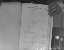
Film negative of marriage records, Clark County, Nevada, circa late 1920s - early 1930s
Image
View
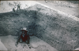
Photograph of Layers of Ashes in the Plaza in Lost City, Nevada, November 1975
Image
View
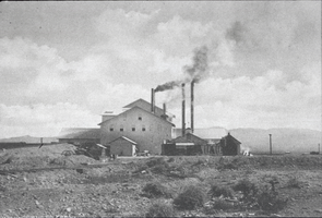
Slide of Arden Plaster Mill, Arden, Nevada, 1911
Image
View
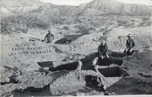
Postcard of adobe house ruins, Lost City, Nevada, April 23, 1926
Image
View
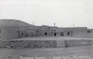
Postcard of restored homes in Lost City, Nevada, circa mid 1900s
Image
View
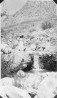
Photographic transparency of Olive Lake and Wanda Ball at Wilson's Ranch, Las Vegas, circa early 1900s
Image
View
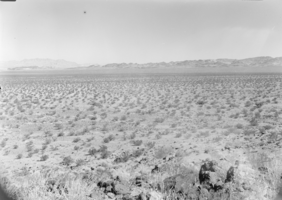
Film transparency of a desert landscape with mountains in the horizon, Clark County, Nevada, early to mid 1900s
Image
View
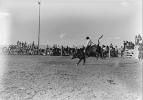
Film transparency of Glen Tyler at a rodeo, May 1939
Image
View
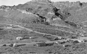
Film transparency of Nelson, Nevada, circa 1930-1945
Image
View
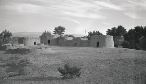
Film transparency of Lost City, Las Vegas, circa 1930-1960s
Image
View
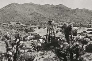
Slide of Searchlight, Nevada, circa 1907-1930
Image
View
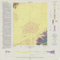
Geologic map of the Frenchman Flat quadrangle, Nye, Lincoln, and Clark Counties, Nevada, 1965
Image
View
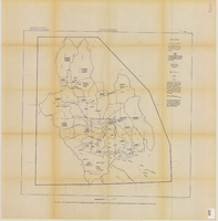
Map of Las Vegas, Nevada and surrounding Bureau of Land Management areas to the west and north, 1994
Text
View
Map showing estimated average recharge to and discharge from ground-water reservoirs by basins, and hydraulic potential in Clark and Nye counties, Nevada, 1963
Image
View
Map of the Las Vegas ground-water basin, Clark, Nye, and Lincoln Counties, Nevada, 1965
Image
View
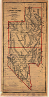
Map of Lincoln County, Nevada, 1908
Image
View
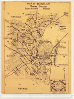
Map of Searchlight mining district, Clark County, Nevada, circa 1905
Image
View
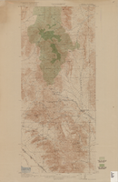
Topographic map of Goodsprings quadrangle, Nevada and California, 1919
Text
View
Pagination
First page
« First
Previous page
‹‹
…
Page
66
Page
67
Page
68
Page
69
Page
70
Page
71
Current page
72
Page
73
Page
74
Next page
››
Last page
Last »