Skip to main content
Main navigation
Finding Aids
Digital Projects
African American Experience in Las Vegas
Charles Saladino Landscape Architecture Collection
Culinary Union Photograph Collection
Dino at the Sands
Dreaming the Skyline
Entertainment
Historic Landscape of Nevada
Hoover Dam
Jamey Stillings
Menus: The Art of Dining
Nevada Test Site Oral History Project
Newspapers
Oral Histories Collection
Photograph Collections
Rebel Yell Newspaper
Showgirls
Southern Nevada: The Boomtown Years 1900-1925
Southern Nevada History in Maps
Southern Nevada Jewish Heritage Project
UNLV CSUN Records
Union Pacific Railroad Water Documents
Walking Box Ranch Collection
Welcome Home Howard
About
Request Images
Help
Provide Feedback
Special Collections Home
Search the Special Collections and Archives Portal
Search
Search
Breadcrumb
Special Collections and Archives Portal
Clark County
Authority Link
GeoNames
Latitude/Longitude
36.2152, -115.01356
Broader
Nevada
United States
Feature
second-order administrative division
Georgia Mae Thompson, Clark County Mother of the Year: photographic print
Image
View
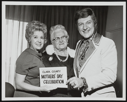
Fedora Beontempi, Liberace's mother, and Liberace at the Clark County Mother's Day Celebration: photographic print
Image
View
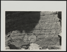
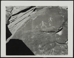
Petroglyphs at Aztec Tank, Clark County, Nevada: photographic print
Image
View
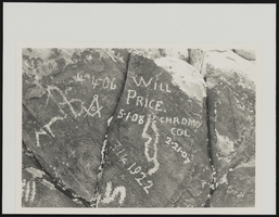
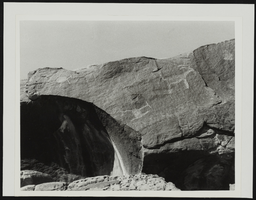
Petroglyphs at Arrow Canyon, Clark County, Nevada: photographic print
Image
View
Petroglyphs at Arrow Canyon, Clark County, Nevada: photographic print
Image
View
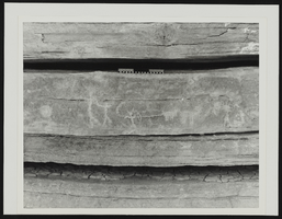
Petroglyphs at Buffington's Reservoir, Clark County, Nevada: photographic print
Image
View
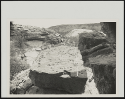
Side view of the Arrow Canyon, Clark County, Nevada: photographic print
Image
View
Petroglyphs at Buffington's Reservoir, Clark County, Nevada: photographic print
Image
View
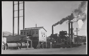
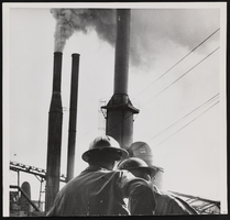
Manganese Incorporated: photographic print
Image
View
Three Kids Manganese Mine: photographic print
Image
View
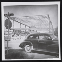
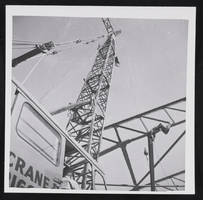
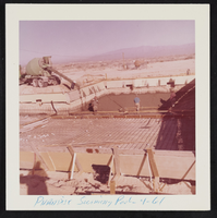
Unidentified construction site, image 012: photographic print
Image
View
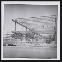
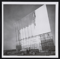
Unidentified construction site, image 011: photographic print
Image
View
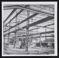
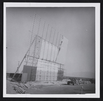
Unidentified construction site, image 010: photographic print
Image
View
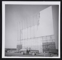
Unidentified construction site, image 009: photographic print
Image
View
Unidentified construction site, image 008: photographic print
Image
View
Unidentified construction site, image 007: photographic print
Image
View
Unidentified construction site, image 006: photographic print
Image
View
Unidentified construction site, image 005: photographic print
Image
View
Pagination
First page
« First
Previous page
‹‹
…
Page
65
Page
66
Page
67
Page
68
Current page
69
Page
70
Page
71
Page
72
Page
73
…
Next page
››
Last page
Last »