Skip to main content
Main navigation
Finding Aids
Digital Projects
African American Experience in Las Vegas
Charles Saladino Landscape Architecture Collection
Culinary Union Photograph Collection
Dino at the Sands
Dreaming the Skyline
Entertainment
Historic Landscape of Nevada
Hoover Dam
Jamey Stillings
Menus: The Art of Dining
Nevada Test Site Oral History Project
Newspapers
Oral Histories Collection
Photograph Collections
Rebel Yell Newspaper
Showgirls
Southern Nevada: The Boomtown Years 1900-1925
Southern Nevada History in Maps
Southern Nevada Jewish Heritage Project
UNLV CSUN Records
Union Pacific Railroad Water Documents
Walking Box Ranch Collection
Welcome Home Howard
About
Request Images
Help
Provide Feedback
Special Collections Home
Search the Special Collections and Archives Portal
Search
Search
Breadcrumb
Special Collections and Archives Portal
Clark County
Authority Link
GeoNames
Latitude/Longitude
36.2152, -115.01356
Broader
Nevada
United States
Feature
second-order administrative division
Photograph of C. D. Baker, Nellis Air Force Base (Nev.), 1950s-1970s
Image
View
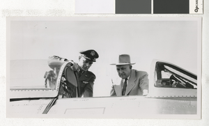
Photograph of C. D. Baker on Armed Forces Day, Nellis Air Force Base (Nev.), 1950s
Image
View
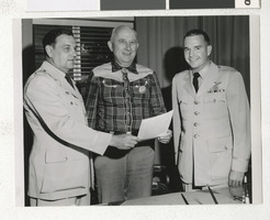
Photograph of C. D. Baker with Air Force officers, Nellis Air Force Base (Nev.), 1950-1972
Image
View
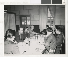
Photograph of Florence Lee Jones Cahlan and others, Nellis Airforce Base, 1950s
Image
View
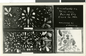
Photograph of relics from Buried City, Clark County, Nevada, circa 1920s-1940s
Image
View
Photograph of Lucille Spire Bruner, circa mid to late 1900s
Image
View
Photograph of Lucille Spire Bruner, circa mid to late 1900s
Image
View
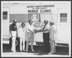
Photograph of the Nevada chapter of the March of Dimes donation, Clark County, Nevada, September 24, 1975
Image
View
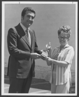
Photograph of Councilman Ron Lurie and volunteer, Clark County, Nevada, July 19, 1977
Image
View
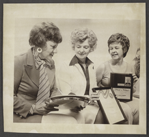
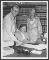
Photograph of the Betty Lee Lamping, Ruth Naylor, and Phyllis Crawley, Clark County, Nevada, May 13, 1976
Image
View
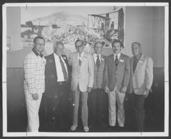
Photograph of members of the Nevada Judges Association, Clark County, Nevada, August 11, 1975
Image
View
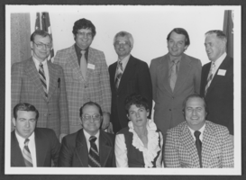
Photograph of members of the Nevada Judges Association, Clark County, Nevada, May 18, 1976
Image
View
Photograph of Al Gunderson and others, Clark County, Nevada, July 29, 1976
Image
View
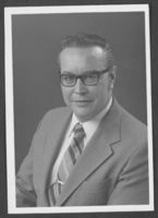
Photograph of Ray Schweitzer, Clark County, Nevada, circa 1970s
Image
View
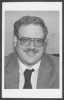
Photograph of Pat Pine, Clark County, Nevada, June 15, 1984
Image
View
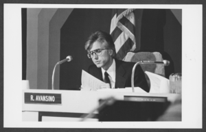
Photograph of Ray Avansino, Clark County, Nevada, June 6, 1984
Image
View
Photograph of Bart Jacka, Clark County, Nevada, December 12, 1978
Image
View
Photograph of Herman Fisher, Jr., Clark County, Nevada, circa 1960s to 1970s
Image
View
Pagination
First page
« First
Previous page
‹‹
…
Page
66
Page
67
Page
68
Page
69
Page
70
Current page
71
Page
72
Page
73
Page
74
Next page
››
Last page
Last »