Skip to main content
Main navigation
Finding Aids
Digital Projects
African American Experience in Las Vegas
Charles Saladino Landscape Architecture Collection
Culinary Union Photograph Collection
Dino at the Sands
Dreaming the Skyline
Entertainment
Historic Landscape of Nevada
Hoover Dam
Jamey Stillings
Menus: The Art of Dining
Nevada Test Site Oral History Project
Newspapers
Oral Histories Collection
Photograph Collections
Rebel Yell Newspaper
Showgirls
Southern Nevada: The Boomtown Years 1900-1925
Southern Nevada History in Maps
Southern Nevada Jewish Heritage Project
UNLV CSUN Records
Union Pacific Railroad Water Documents
Walking Box Ranch Collection
Welcome Home Howard
About
Request Images
Help
Provide Feedback
Special Collections Home
Search the Special Collections and Archives Portal
Search
Search
Breadcrumb
Home
Still Image
A static visual representation
Authority Sources
DCMI Type Vocabulary
Topographic map of the southeast quadrangle of the metropolitan Las Vegas, Nevada area, 1973
Image
View
Topographic map of the southeast quadrangle of the metropolitan Las Vegas, Nevada area, 1967
Image
View
Map of the Las Vegas Strip, 1953
Image
View
Map of the Las Vegas Strip, May 1950
Image
View
Topographic map of the southwestern quadrangle of the metropolitan Las Vegas, Nevada area, 1973
Image
View
Topographic map of the southwestern quadrangle of the metropolitan Las Vegas, Nevada area, 1967
Image
View
Map of Las Vegas Valley showing artesian wells, circa 1920
Image
View
Map of Las Vegas Valley, Clark County, Nevada, 1954
Image
View
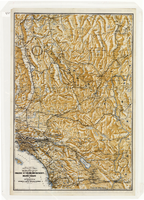
Map of a portion of southern California and southwestern Nevada, circa early 1930s
Text
View
Map of a portion of southern California and southwestern Nevada, circa early 1930s, side 1
Image
View
Map of a portion of southern California and southwestern Nevada, circa early 1930s, side 2
Image
View
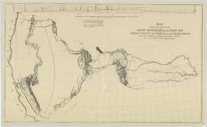
Map of an exploring expedition to the Rocky Mountains in the year 1842 and to Oregon & north California in the years 1843-44
Image
View
Map of city of Las Vegas, Nevada, October 1, 1940
Image
View
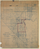
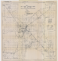
Map of Clark County, Nevada, 1927
Image
View
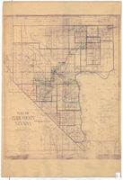
Map of Clark County, Nevada, 1927, copy 1
Image
View
Map of Clark County, Nevada, 1927, copy 2
Image
View
Map of Las Vegas and vicinity, Clark County, Nevada, December 1954
Image
View
Map of Las Vegas artesian basin, Clark County, Nevada, April 1946 (Water Resources Bulletin no. 4, plate 1)
Image
View
Pagination
First page
« First
Previous page
‹‹
…
Page
2119
Page
2120
Page
2121
Page
2122
Current page
2123
Page
2124
Page
2125
Page
2126
Page
2127
…
Next page
››
Last page
Last »