Search Results
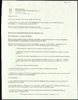
Photograph of Sargeant Leroy Kelley, Jr. and Colonel William Strand, Nellis Air Force Base, Nevada, March 22, 1976
Date
Archival Collection
Description
Image
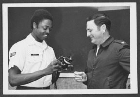
Neon signs along Fremont Street, Las Vegas, Nevada: photographic print
Date
Archival Collection
Description
View of Fremont Street in Las Vegas, NV during the day.
Image
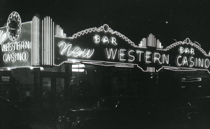
Photograph of classroom equipment, University of Nevada, Las Vegas, circa 1991-1992
Date
Archival Collection
Description
Image

Preliminary report, Regional hydrology of a part of Southern Nevada: a reconnaissance, July 1963
Date
Description
A geological survey of Southern Nevada hydrology which was prepared on behalf of the U.S. Atomic Energy Commission. Report TEI-833
Text
Southern and Central Nevada Papers, 1950-1984
Level of Description
Scope and Contents
The Gilbert Buck Papers on southern and central Nevada (1950-1984) focus on water, sewer, public lands, (master reports, designs, standards, flood and drainage reports, and land specifications) and real estate (reports, housing and mobile home development information, newsletters, surveys, and Buck Realty negotiations). Also included are the books and information on seminars Gilbert Buck hosted on investing in raw land.
Archival Collection
Collection Name: Gilbert Buck Papers
Box/Folder: N/A
Archival Component
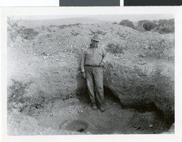
Photograph of John Perkins, Pueblo Grande de Nevada, 1926
Date
Archival Collection
Description
Image
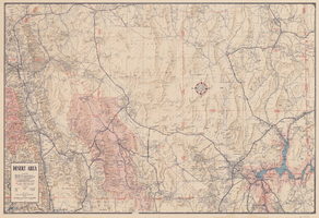
Map of desert area in southern Nevada and southeastern California, circa 1955
Date
Description
Text
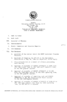
Meeting minutes for Consolidated Student Senate University of Nevada, Las Vegas, May 22, 1986
Date
Archival Collection
Description
Text
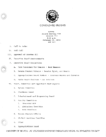
Meeting minutes for Consolidated Student Senate, University of Nevada, Las Vegas, February 15, 1983
Date
Archival Collection
Description
Text