Search Results
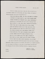
City of Las Vegas building codes, notices, correspondence
Date
1956 to 1959
Archival Collection
Description
City of Las Vegas building codes, notices, correspondence
Text
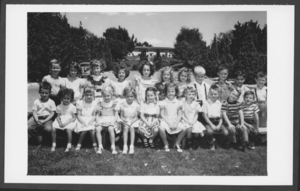
Photograph of Boulder City Elementary School class, Boulder City, Nevada, circa 1947-1950
Date
1947 to 1950
Archival Collection
Description
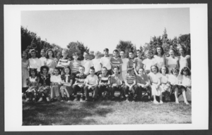
Black and white photo of Boulder City Elementary School class.
Image
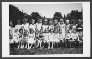
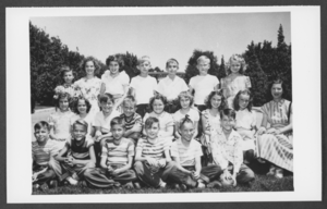
Photograph of Boulder City Elementary School class, Boulder City, Nevada, circa 1947-1950
Date
1947 to 1950
Archival Collection
Description
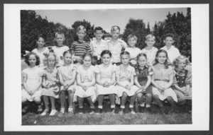
Black and white photo of Boulder City Elementary School class.
Image
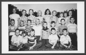
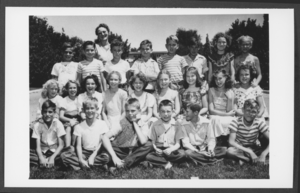
Photograph of Boulder City Elementary School class, Boulder City, Nevada, circa 1947-1950
Date
1947 to 1950
Archival Collection
Description
Black and white photo of Boulder City Elementary School class.
Image
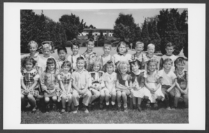
Photograph of Boulder City Elementary School class, Boulder City, Nevada, circa 1947-1950
Date
1947 to 1950
Archival Collection
Description
Black and white photo of Boulder City Elementary School class.
Image
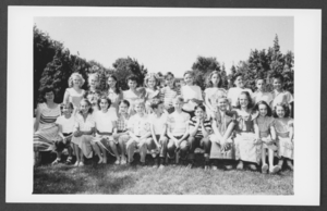
Photograph of Boulder City Elementary School class, Boulder City, Nevada, circa 1947-1950
Date
1947 to 1950
Archival Collection
Description
Black and white photo of Boulder City Elementary School class.
Image
Photograph of Boulder City Elementary School class, Boulder City, Nevada, circa 1947-1950
Date
1947 to 1950
Archival Collection
Description
Black and white photo of Boulder City Elementary School class.
Image
Photograph of Boulder City Elementary School class, Boulder City, Nevada, circa 1947-1950
Date
1947 to 1950
Archival Collection
Description
Black and white photo of Boulder City Elementary School class.
Image
Photograph of Boulder City Elementary School class, Boulder City, Nevada, circa 1947-1950
Date
1947 to 1950
Archival Collection
Description
Black and white photo of Boulder City Elementary School class.
Image
Photograph of Boulder City Elementary School class, Boulder City, Nevada, circa 1947-1950
Date
1947 to 1950
Archival Collection
Description
Black and white photo of Boulder City Elementary School class.
Image