Search Results
Audio clip from interview with Courtney Hunt by Claytee D. White, October 2, 2013
Date
Archival Collection
Description
In this clip, Mr. Hunt, also known as "Nutt," explains how the CONVICTS motorcycle club was named, the acronymn meaning and overview of membership community activities.
Sound

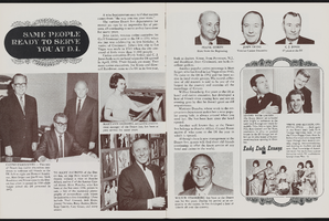
Alpha Kappa Alpha Sorority, Theta Theta Omega Chapter card tournament committee reports
Date
Archival Collection
Description
From the Alpha Kappa Alpha Sorority, Incorporated, Theta Theta Omega Chapter Records (MS-01014) -- Chapter records file.
Text
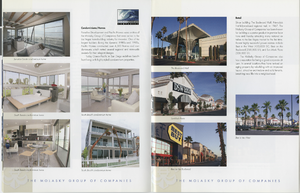
Brochure from the Molasky Group of Companies, approximately 2010
Date
Archival Collection
Description
This brochure includes highlights of the Molasky Group of Companies, specializing in real estate development.
Text

Geologic map of Las Vegas Valley, Nevada, 1982
Date
Description
2320-A. Originally published as plate 1 of Ground-water conditions in Las Vegas Valley, Clark County, Nevada. Part I. Hydrogeologic framework / by Russell W. Plume, published by the U.S. Geological Survey in 1989 as Water-supply paper 2320-A.
Image

Surficial geologic map of Las Vegas Valley, Nevada, circa 1981
Date
Description
84-130. Originally published as plate 1 of Ground-water conditions in Las Vegas Valley, Clark County, Nevada. Part I. Hydrogeologic framework / by Russell W. Plume, published by the U.S. Geological Survey in 1984 as Open-file report 84-130.
Image
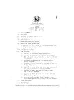
Meeting minutes for Consolidated Student Senate University of Nevada, Las Vegas, April 6, 1989
Date
Archival Collection
Description
Text
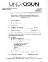
Meeting minutes for Consolidated Student Senate, University of Nevada, Las Vegas, March 27, 2006
Date
Archival Collection
Description
Text
Dennis McBride LGBTQ Poster and Sign Collection
Identifier
Abstract
The Dennis McBride LGBTQ Poster and Sign Collection (1977-2018) contains posters and signs created by the Las Vegas, Nevada Lesbian, Gay, Bisexual, Transgender, and Queer/Questioning (LGBTQ) community, collected by historian Dennis McBride. These handmade and commercially printed signs cover events of particular interest to the Las Vegas, Nevada LGBTQ community, including social events, entertainment venues, political rallies, and Gay Pride events.
Archival Collection