Skip to main content
Main navigation
Finding Aids
Digital Projects
African American Experience in Las Vegas
Charles Saladino Landscape Architecture Collection
Culinary Union Photograph Collection
Dino at the Sands
Dreaming the Skyline
Entertainment
Historic Landscape of Nevada
Hoover Dam
Jamey Stillings
Menus: The Art of Dining
Nevada Test Site Oral History Project
Newspapers
Oral Histories Collection
Photograph Collections
Rebel Yell Newspaper
Showgirls
Southern Nevada: The Boomtown Years 1900-1925
Southern Nevada History in Maps
Southern Nevada Jewish Heritage Project
UNLV CSUN Records
Union Pacific Railroad Water Documents
Walking Box Ranch Collection
Welcome Home Howard
About
Request Images
Help
Provide Feedback
Special Collections Home
Search the Special Collections and Archives Portal
Search
Search
Breadcrumb
Special Collections and Archives Portal
Nevada
Authority Link
GeoNames
Broader
United States
Feature
first-order administrative division
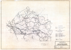
Map of Las Vegas Valley artesian basin, circa 1940
Image
View
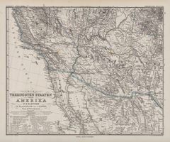
Die Vereinigten Staaten von Amerika in 6 Blättern im Maassstabe von 1:3,700,000
Image
View
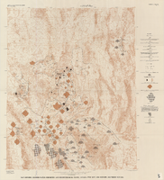
Map showing ground-water chemistry and hydrochemical facies, Nevada Test Site and vicinity, southern Nevada, 1965
Image
View
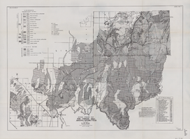
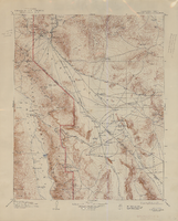
Hydrogeologic map of Nevada Test Site and vicinity, southern Nevada, 1965
Image
View
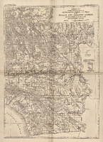
General map showing approximate location of better known springs and wells in the Mohave and adjacent deserts, southeastern California and southwestern Nevada, circa 1908-1909
Image
View
General geologic map of the Corners area, Arizona-Nevada-Utah, April 15, 1952
Image
View
Regional map showing main air, highway, bus and railroad transportation, October 30, 1945
Image
View
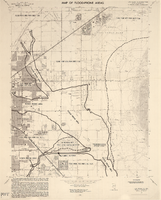
Maps of flood-prone areas in Las Vegas, Nevada, 1973
Image
View
Topographic map of the Furnace Creek quadrangle, Nevada and California, 1947
Text
View
Topographic map of the Las Vegas Valley and surrounding northern and western mountain ranges, 1943
Text
View
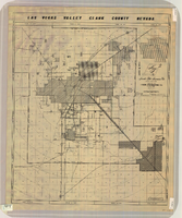
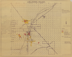
Map of Las Vegas Valley, Clark County, Nevada, circa 1950-1956
Image
View
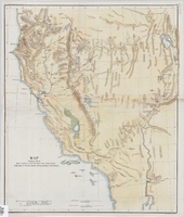
Map showing the different routes travelled over by the detachments of the Overland Command in the spring of 1855 from Salt Lake City, Utah, to the Bay of San Francisco, 1855
Image
View
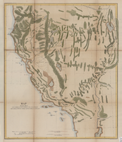
Map showing the different routes travelled over by the detachments of the Overland Command in the spring of 1855 from Salt Lake City, Utah, to the Bay of San Francisco, 1855
Image
View
Map of Las Vegas Valley, 1968
Image
View
Las Vegas Valley map, Clark County, Nevada, June 1958
Image
View
Map of Las Vegas and vicinity, Clark County, Nevada, November 1952
Image
View
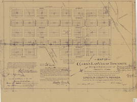
Map of Clark's Las Vegas Townsite, May 8, 1905
Text
View
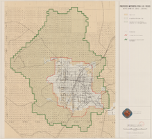
Map showing proposed metropolitan Las Vegas development area, June 24, 1997
Image
View
Pagination
First page
« First
Previous page
‹‹
…
Page
63
Page
64
Page
65
Page
66
Current page
67
Page
68
Page
69
Page
70
Page
71
…
Next page
››
Last page
Last »