Search Results
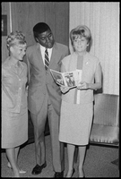
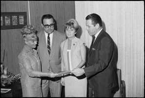
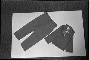
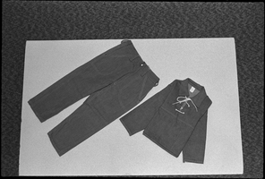
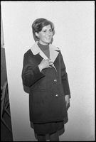
Set of photographs of products for Golden West advertisements
Date
1966
Archival Collection
Description
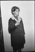
Photographer's notations: Golden West ads.
Image
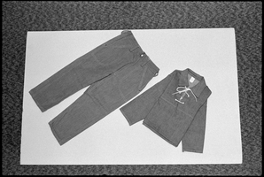
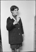
Photographer's notations: Golden West ads.
Image