Search Results

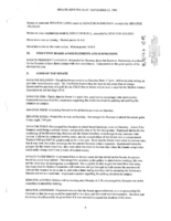
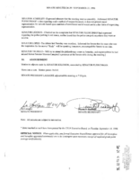
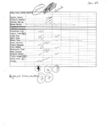
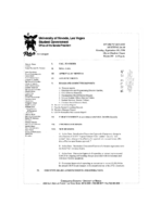
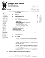
Meeting minutes for Consolidated Student Senate University of Nevada, Las Vegas, September 30, 1996
Date
1996-09-30
Archival Collection
Description
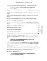
Includes meeting agenda and minutes, along with additional information about bylaws.
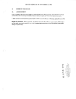
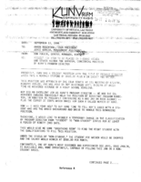
Text