Search the Special Collections and Archives Portal
Search Results
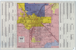
A general map of Las Vegas, 1969
Date
1905-05-22
Description
Color; 60 x 55 cm. on sheet 64 x 96 cm. At top left of map: Map of greater Las Vegas. Includes index.
Image
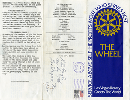
The Wheel Las Vegas Rotary Club newsletter, July 29, 1982
Date
1982-07-29
Archival Collection
Description
Newsletter issued by the Las Vegas Rotary Club
Text
"Viva Las Vegas", Las Vegas, approximately 1963 July
Level of Description
File
Archival Collection
University of Nevada, Las Vegas Photograph Collection
To request this item in person:
Collection Number: PH-00062
Collection Name: University of Nevada, Las Vegas Photograph Collection
Box/Folder: Folder 15
Collection Name: University of Nevada, Las Vegas Photograph Collection
Box/Folder: Folder 15
Archival Component
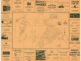
City of Las Vegas map, 1952
Date
1952
Description
General information on Las Vegas and index on verso ; Copyright held by Redwood Publishing Co. ; Includes inset map of the Strip (U.S. 91 or Los Angeles Highway) ; Redwood Publishing Company
Text

General map of Las Vegas, Nevada, June 1962
Date
1962-06
Description
At top of map: 'Las Vegas Metropolitan Area.' 'June 1962.' Includes indexes and information about Las Vegas. Published by Campbell Realty. Scale [ca. 1:31,680. 1 in. to approx. .5 miles].
Text

Topographic map of Nevada-California, Las Vegas quadrangle, March 1908
Date
1908-03
Description
'Edition of Mar. 1908.' 'E.M. Douglas, geographer in charge; Topography and triangulation by R.H. Chapman, B.D. Stewart, J.E. Blackburn, and D.F.C. Moor. Surveyed in 1906-1907.' Scale 1:250,000 (W 116°00--W 115°00/N 37°00--N 36°00). Relief shown by contours and spot heights. Title in lower-right corner: Las Vegas. Contour interval 100 feet. Datum is mean sea level. "Topography"--Center of top margin. Text about the Topographic Maps of the United States series and symbols used on map on verso. U.S. Geological Survey
Text

The Wheel of Rotary Las Vegas Rotary Club newsletter, July 7, 1949
Date
1949-07-07
Archival Collection
Description
Newsletter issued by the Las Vegas Rotary Club
Text
Las Vegas Saxes July, 1988
Level of Description
File
Archival Collection
Stardust Resort and Casino Records
To request this item in person:
Collection Number: MS-00515
Collection Name: Stardust Resort and Casino Records
Box/Folder: Box 221
Collection Name: Stardust Resort and Casino Records
Box/Folder: Box 221
Archival Component
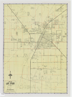
Map of metropolitan Las Vegas, Nevada area, circa 1957
Date
1955 to 1960
Description
Compiled and drawn by California State Automobile Association.--Panel ; "California State Automobile Association. Nevada Division." ; Includes indexes ; Includes inset maps of Nellis Air Force Base and area bounded on the north by Cheyenne Ave. and by Charleston Blvd. on the south. Signature of Elton M. Garrett of back of map. California State Automobile Association.
Text
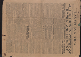
Newspaper, Las Vegas Review, July 27, 1923
Date
1923-07-27
Description
Reports desert thunderstorm damage in Las Vegas
Text
Pagination
Refine my results
Content Type
Creator or Contributor
Subject
Archival Collection
Digital Project
Resource Type
Year
Material Type
Place
Language
Records Classification
