Search the Special Collections and Archives Portal
Search Results
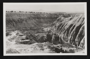
Photographic postcard of Cathedral Gorge in Nevada: postcard
Date
Archival Collection
Description
Image
Photographs of early Las Vegas tent camps, wagons, first state bank, and other early permanent structures of Las Vegas; 1900s newspaper; Railroadmen's Ball ticket, 1905-1935
Level of Description
Archival Collection
Collection Name: Von Tobel Family Papers
Box/Folder: Oversized Box 07
Archival Component
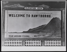
Welcome sign outside of Hawthorne, Nevada: photographic print
Date
Archival Collection
Description
Image
Clark County, Nevada School District Annual Reports
Identifier
Abstract
The Clark County, Nevada School District Annual Reports include reports created by the Clark County School District from 1970 to 1980. Reports for the school years of 1972 to 1973, 1973 to 1974, and 1976 to 1977 are not included.
Archival Collection

El Mirador Motel in Las Vegas, Nevada: postcard
Date
Archival Collection
Description
Image
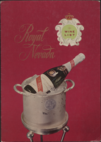
Royal Nevada wine list
Date
Archival Collection
Description
Note: No date on menu Menu insert: Wine lists Restaurant: Royal Nevada Location: Las Vegas, Nevada, United States
Text
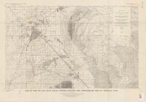
Map of part of Las Vegas Valley, Nevada, showing the approximate area of artesian flow, 1965
Date
Description
1780. Originally published as plate 2 of Available water supply of the Las Vegas ground-water basin, Nevada, by Glenn T. Malmberg, published by the Geological Survey in 1965 as its Water-supply paper 1780.
Image
Nevada Banking History Collection
Identifier
Abstract
The Nevada Banking History Collection (1870-1976), compiled by the First National Bank of Nevada, ontains correspondence, checks, deposit slips and other documents related to early bank operations in Nevada. There are also newspaper articles, published materials and photographs relating to the history of banks in Nevada from 1870 to 1976.
Archival Collection
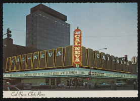
The Club Cal-Nevada in Reno, Nevada: postcard
Date
Archival Collection
Description
Image

