Search Results
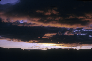
Slide of Walker Lake, Nevada, circa 1960s
Date
1960 to 1969
Archival Collection
Description
Evening view of Walker Lake in Nevada.
Image
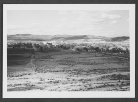
Photograph of Panaca, Nevada, circa 1950s-1970s
Date
1950 to 1979
Archival Collection
Description
A distant, downhill view of Panaca, Nevada.
Image

Slide of Candelaria, Nevada, circa 1960s - 1970s
Date
1960 to 1979
Archival Collection
Description
An interior view of a tunnel in Candelaria, Nevada.
Image
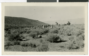
Photograph of a cemetery in Hiko, Nevada, circa 1920s
Date
1920 to 1929
Archival Collection
Description
A small, fenced cemetery in Hiko, Nevada.
Image
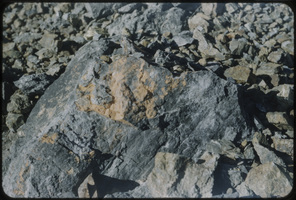
Slide of a rock formation, Nevada, circa 1960s
Date
1960 to 1969
Archival Collection
Description
A picture of a rock formation somewhere in Nevada.
Image
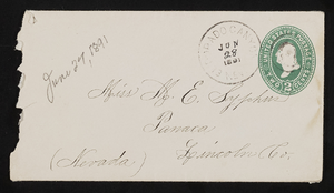
Letter and envelope from John M. Bunker, Eldorado Canyon, Nevada to Mary Etta Syphus, Panaca, Nevada
Date
1891-06-27
Archival Collection
Description
From the Syphus-Bunker Papers (MS-00169). The folder contains an original handwritten letter, an envelope, a typed transcription of the same letter, and a copy of original letter attached.
Text
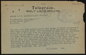
Las Vegas Springs, Nevada
Date
1911 to 1921
Archival Collection
Description
Series 1. San Pedro, Los Angeles and Salt Lake Railroad -- J. Ross Clark/Los Angeles Office Files
Mixed Content
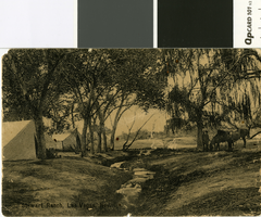
Photograph of Stewart Ranch, Las Vegas, Nevada, circa 1905
Date
1905 (year approximate)
Archival Collection
Description
Tents and horses by the Las Vegas Creek on the Las Vegas Ranch.
Image

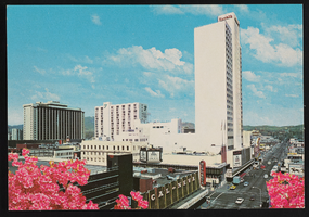
Harrah's in Reno, Nevada: postcard
Date
1940 (year approximate) to 1990 (year approximate)
Archival Collection
Description
From the Harvey's Hotel and Casino Postcard Collection (PH-00367)
Image
Harrah's in Reno, Nevada: postcard
Date
1940 (year approximate) to 1990 (year approximate)
Archival Collection
Description
From the Harvey's Hotel and Casino Postcard Collection (PH-00367)
Image