Search the Special Collections and Archives Portal
Search Results
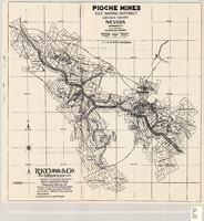
Map of the Pioche mines, Ely Mining District, Lincoln County (Nev.), 1909
Date
1909
Description
Scale unreadable ; 1 map ; 42 x 40 cm ; Photocopy. [United States ; s.n., 198-?] ; Includes township and range grid ; Includes wagon roads ;
Image

Map of Argentite: Red Mountain Mining District, Esmeralda County (Nev.),1908
Date
1908
Description
Scale [ca. 1:7,200]. 1 in. equals 600 feet ; 1 map : linen ; 46 x 39 cm
Image
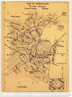
Map of Searchlight Mining District, Clark County (Nev.), 1905
Date
1905
Description
Scale not given ; 1 map ; 61 x 42 cm ; Blueline print ; Shows mineral patents and water rights ;
Image
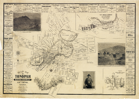
Map of the Tonopah Mining District, Nye County (Nev.), 1902
Date
1902
Description
Map of the Tonopah Mining District, Nye County (Nev.), 1902
Image
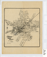
Map of the Tonopah Mining District, Nye County (Nev.), 1903
Date
1903
Description
Scale [ca. 1:7,200]. 1 in. equals 600 feet ; 1 map ; 17 x 16 cm ; Relief shown by hachures ; Library's copy has some mines cross-hatched in pencil ;
Image
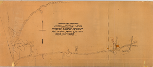
Map of the underground workings in Potosi and Central Lodes of Potosi Mining Group, Lincoln County (Nev.), May, 1906
Date
1906-05
Description
Map of the underground workings in Potosi and Central Lodes of Potosi Mining Group, Lincoln County (Nev.), May, 1906
Image
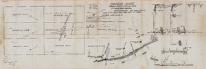
Map of the Fairday Mine, Cactus Range, Nye County (Nev.), May 25, 1916
Date
1916-05-25
Description
Scale 200 ft. to one inch.
Image
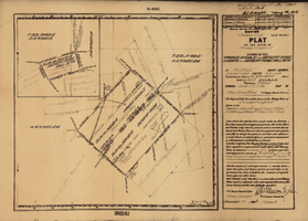
Plat map of the claim of George Wingfield (Yankee Doodle and Desert Rose Lodes), Esmeralda County (Nev.), 1910
Date
1910
Description
Plat map of the claim of George Wingfield (Yankee Doodle and Desert Rose Lodes), Esmeralda County (Nev.), 1910
Image
Lincoln County Museum Photograph Collection
Identifier
PH-00119
Abstract
The Lincoln County Museum Photograph Collection contains photographs of towns, railroads, and mining operations in Lincoln County, Nevada from 1870 to 1953. The photographs primarily depict mines and railroads in Pioche, Caliente, Bullionville, and Panaca from 1900 to 1908 during part of Nevada’s mining boom. The photographs also depict Paiute workers, horse freight teams, geographical landmarks, and students in Lincoln County.
Archival Collection
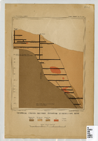
Map of a vertical cross-section through the Eureka Consolidated Mine, Eureka County (Nev.), 1883
Date
1883
Description
Scale [ca. 1:2,400] 1 in.=200 feet1 map ; col. ; 20 x 16 cm ; Eureka Con. Mine is in the Eureka Mining District in Nevada ; "Juliue Bien & Co. lith." ; "U.S. Geological Survey. Annual report 1883, pl. XXXIII"--Upper right margin ; Library's copy has "Nev." printed in pencil in upper right corner
Image
Pagination
Refine my results
Content Type
Creator or Contributor
Subject
Archival Collection
Digital Project
Resource Type
Material Type
Place
Language
Records Classification
