Search the Special Collections and Archives Portal
Search Results
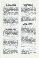
The Wheel Las Vegas Rotary Club newsletter, late 1970s
Date
Archival Collection
Description
Text
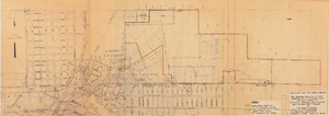
Map showing location of leased properties proposed to be sold to the Las Vegas Land and Water Company, October 2, 1952
Date
Archival Collection
Description
Image
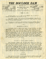
The Boulder Dam Las Vegas Rotary Club newsletter, March 17, 1927
Date
Archival Collection
Description
Text

The Boulder Dam Las Vegas Rotary Club newsletter, probably 1926
Date
Archival Collection
Description
Text
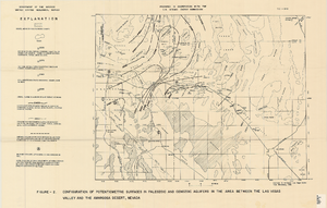
Map showing configuration of potentiometric surfaces in Paleozoic and Cenozoic aquifers in the area between the Las Vegas Valley and the Amargosa Desert, Nevada, 1963
Date
Description
Image
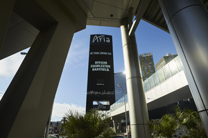
The Aria Las Vegas casino sign shows support for fallen officer Charleston Hartfield prior to his funeral procession, looking south-southeast in Las Vegas, Nevada: digital photograph
Date
Archival Collection
Description
Following the October 1, 2017 killing of 58 people at the Route 91 Harvest Music Festival on the Las Vegas Strip, the Las Vegas community responded in a variety of ways. This series of photographs document the funeral procession of Las Vegas Metropolitan Police Department Officer Charleston Hartfield, who was off duty when he was murdered in the mass shooting.
Image
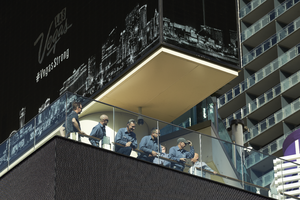
Maintenance workers gather at the Cosmopolitan Las Vegas to show support for fallen officer Charleston Hartfield prior to his funeral procession, looking north in Las Vegas, Nevada: digital photograph
Date
Archival Collection
Description
Following the October 1, 2017 killing of 58 people at the Route 91 Harvest Music Festival on the Las Vegas Strip, the Las Vegas community responded in a variety of ways. This series of photographs document the funeral procession of Las Vegas Metropolitan Police Department Officer Charleston Hartfield, who was off duty when he was murdered in the mass shooting.
Image
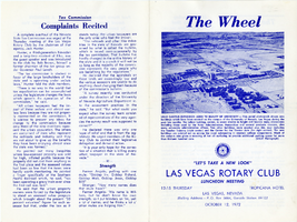
The Wheel Las Vegas Rotary Club newsletter, October 12, 1972
Date
Archival Collection
Description
Text

Newspaper clipping, Water district for Las Vegas Valley moves step ahead, Las Vegas Review-Journal, August 8, 1948
Date
Archival Collection
Description
Having received enough petition signatures, water district backers were moving on to the next step: a public meeting to discuss the issue.
Text
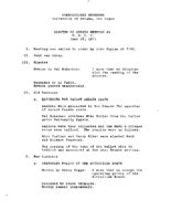
Meeting minutes for Consolidated Student Senate, University of Nevada, Las Vegas, June 26, 1973
Date
Archival Collection
Description
Text
