Search Results
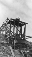
Construction of the mill at Josiah Irving Crowell's mine at Chloride Cliff, Nevada: photographic print
Date
Archival Collection
Description
From the Nye County, Nevada Photograph Collection (PH-00221) -- Series III. Beatty, Nevada -- Subseries III.D. Crowell Family. The round machine near the base of the mill is a Lane Mill, which rotated and crushed the ore. All equipment and materials were moved to the building site using horses.
Image
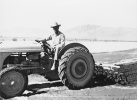
M.P. "Gless" Glessner sitting on the Ford tractor: photographic print
Date
Archival Collection
Description
From the Nye County, Nevada Photograph Collection (PH-00221) -- Series I. Amargosa Valley, Nevada -- Subseries I.A. Fishel Family (T&T Ranch). The Ford tractor belongs to Gordon Bettles. Glessner was retired from the Marine Corps, lived for many years in Beatty and is buried there. In the distance are mountains of the Funeral Range.
Image
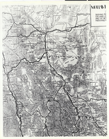
Photograph of a portion of a map of the state of Nevada, 1906
Date
Archival Collection
Description
Image
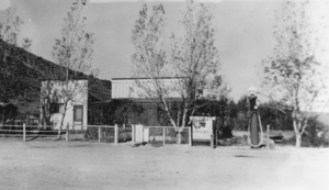
Front of a building in Warm Springs, Nevada: photographic print
Date
Archival Collection
Description
From the Nye County, Nevada Photograph Collection (PH-00221) -- Series III. Beatty, Nevada -- Subseries III.B. Lisle Family. A bar stood to the left of the building pictured here, and a school stood to the right, near the present site of the big, stone corral. Mrs. Wilson ran a boarding house in the largest building pictured here.
Image
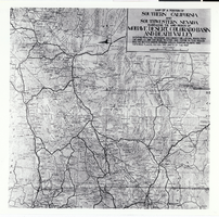
Photograph of a portion of a southern California and southwestern Nevada map, circa 1920s
Date
Archival Collection
Description
Image

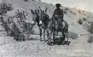
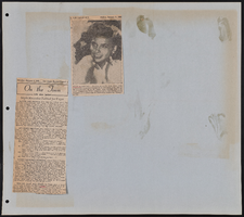
Photograph showing an unidentified man, Death Valley, circa 1920 to 1955
Date
Archival Collection
Description
Image