Search the Special Collections and Archives Portal
Search Results
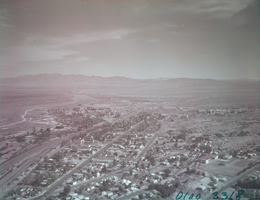
Film transparency of aerial view of Needles, California, circa 1940s
Date
Archival Collection
Description
Image

Aerial photograph of a railroad line camp, 1904
Date
Archival Collection
Description
Image
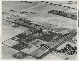
Aerial view of UNLV campus: photographic print
Date
Archival Collection
Description
Image
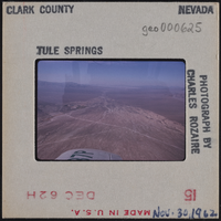
Photographic slide of Tule Springs aerial view, November 30, 1962
Date
Archival Collection
Description
Image
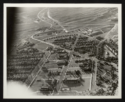
Photograph of an aerial view of Boulder City, Nevada, circa 1933-1940
Date
Archival Collection
Description
Image
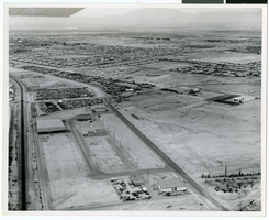
Aerial photograph of North Las Vegas, Nevada, June 5, 1973
Date
Archival Collection
Description
Image
Army Mapping Service Aerial Photographs of Southern and Western Nevada
Identifier
Abstract
The Army Mapping Service Aerial Photographs of Southern and Western Nevada (1952-1956) consist of approximately 2,080 black-and-white high-altitude aerial survey photographs of Southern and Western Nevada. Two projects are represented; 109-G, covering sections of Southern Nevada and 160-BH, covering a section of Western Nevada. Also included are five composite photograph indices created from the detailed survey photographs, four index sheets showing the project locations in Nevada and other projects in the western States, and five photocopied images of composite photographs of several cities in Nevada.
Archival Collection
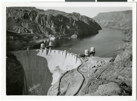
Aerial photograph of Hoover Dam and Lake Mead, 1935-1936
Date
Archival Collection
Description
Image
Aerials day shots of the Las Vegas Valley: video
Date
Archival Collection
Description
Aerial day shots of the Las Vegas valley; starts at the Strip and shoes the Desert Inn country club, the Landmark, Convention Center, moves south to UNLV and the Thomas and Mack center, lands at the airport. Original media U-matic S, color, aspect ratio 4 x 3, frame size 720 x 486. From The Production Company Audiovisual Collection (MS-00930) -- Digitized audiovisual material file.
Moving Image
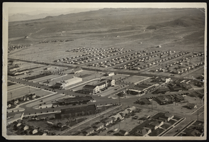
Aerial photograph of Boulder City, Nevada, circa 1933 - late 1930s
Date
Archival Collection
Description
Image
