Search the Special Collections and Archives Portal
Search Results
bird's-eye views
Refers to nonphotographic depictions having a viewpoint well above normal eye level. They are typically prints, drawings or paintings that incorporate a point of view as if the viewer were looking at the ground from the level of the clouds. The advantage of the high angle is that more detail can be displayed, as the foreground does not obscure the background. This view has been used since the time of ancient Rome, when it was used to portray battlefields; it is also commonly used to portray urban developments, for landscape garden plans, and for palaces and towns. Bird's-eye views depict a vantage point higher than one taken from just above roof-level, but lower than a map-view. For architectural drawings in precise perspective, use "bird's-eye perspectives." For photographs, use "aerial views" or "aerial photographs." For pictorial maps, use "map views."
Authority Sources
Material Type
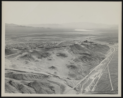
Looking south across Boulder City, Nevada: photographic print
Date
Archival Collection
Description
Image
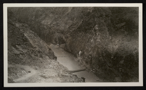
Photograph of construction of roads and bridge across Colorado River, Hoover Dam, circa 1930-1935
Date
Archival Collection
Description
Image
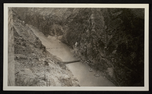
Photograph of construction of roads and bridge across Colorado River, Hoover Dam, circa 1930-1935
Date
Archival Collection
Description
Image

Southern Nevada Photo Album, image 053
Description
photomosaic maps
Maps comprised of assemblies of overlapping aerial photographs whose edges have been torn or cut and matched to form a continuous photographic representation of the earth's surface.
Authority Sources
Material Type

