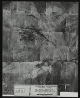
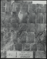
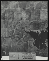
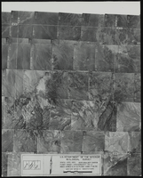
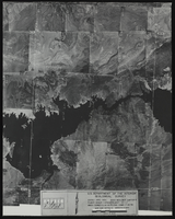
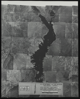
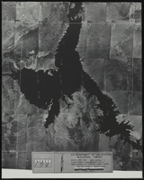
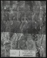
photomosaic maps
Maps comprised of assemblies of overlapping aerial photographs whose edges have been torn or cut and matched to form a continuous photographic representation of the earth's surface.
Maps comprised of assemblies of overlapping aerial photographs whose edges have been torn or cut and matched to form a continuous photographic representation of the earth's surface.