Search the Special Collections and Archives Portal
Search Results
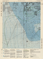
Topographic map of groundwater in the southwest quadrangle of Las Vegas, Nevada, 1985
Date
Description
Text
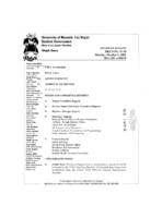
Meeting minutes for Consolidated Student Senate, University of Nevada, Las Vegas, October 01, 2001
Date
Archival Collection
Description
Text
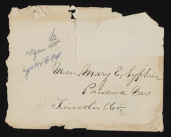
Letter and envelope from John M. Bunker, Eldorado, Nevada to Mary Etta Syphus, Panaca, Nevada
Date
Archival Collection
Description
From the Syphus-Bunker Papers (MS-00169). The folder contains an original handwritten letter, a typed transcription of the same letter, the original envelope with the stamp removed, and a copy of the original letter.
Text

Meeting minutes for Consolidated Student Senate, University of Nevada, Las Vegas, February 23, 1983
Date
Archival Collection
Description
Text
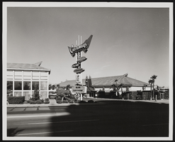
Castaways Hotel and Casino in Las Vegas, Nevada: photographic print
Date
Archival Collection
Description
Image

Constitution for the Inter-Greek Council, University of Nevada, Las Vegas, circa 1977
Date
Archival Collection
Description
Text
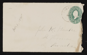
Letter and envelope from Mary M. Bunker, Bunkerville, Nevada to John M. Bunker, St. Thomas, Nevada
Date
Archival Collection
Description
From the Syphus-Bunker Papers (MS-00169). The folder contains an original handwritten letter, an envelope, a typed transcription of the same letter, and a copy of original letter attached.
Text
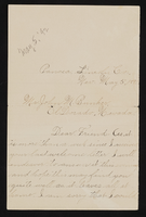
Letter from Mary Etta Syphus, Panaca, Nevada to John M. Bunker, Eldorado Canyon, Nevada
Date
Archival Collection
Description
From the Syphus-Bunker Papers (MS-00169). The folder contains an original handwritten letter, a typed transcription of the same letter, and a copy of original letter attached.
Text

Bound album of El Dorado Cañon in Nevada: photographic print
Date
Archival Collection
Description
Image
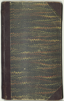
Nevada Burial Records of Stewart Ranch
Date
Archival Collection
Description
The Nevada Burial Records of Stewart Ranch (1905-1913) consist of a ledger recording those buried at Stewart Ranch in Las Vegas, Nevada. The entries in the ledger document the names of the deceased and where they died. Some entries have additional information explaining how the person died and their height and weight.
Text
