Search the Special Collections and Archives Portal
Search Results

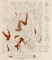
Hydrogeologic map of Nevada Test Site and vicinity, southern Nevada, 1965
Date
Description
Image
Hotel Nevada Guest Register
Identifier
Abstract
The Hotel Nevada Guest Register (1910-1911) consists of one register from the Hotel Nevada, which opened on the southeast corner of Main Street and Fremont Street in Las Vegas, Nevada in 1906. This particular volume lists guest names and their home citieslocated on the corner of Fremont and Main Streets.
Archival Collection
Nevada Resort Association Records
Identifier
Abstract
The records are comprised of subject files and reports from approximately the 1990s to the 2000s related to data gathering and lobbying activities of the Nevada Resort Association. Materials include drafts of legislation related to gaming, tax reports, health and safety regulations, labor and employment matters, and zoning issues.
Archival Collection
Nevada State Highway Commission Reports
Identifier
Abstract
The Nevada State Highway Commission Reports (1917-1972) contain biennial reports regarding completed and planned projects of the Nevada Department of Highways.
Archival Collection

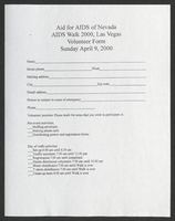
Aid for AIDS of Nevada volunteer form
Date
Archival Collection
Description
Text

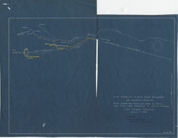
Blueprint map showing proposed new 12" well and pipe line changes at water springs, Las Vegas, Nevada, circa 1920
Date
Archival Collection
Description
Image
Nevada Library Directories, Statistics, and Handbook
Identifier
Abstract
The Nevada Library directories and statistics date from 1954 to 1992. The Library Association Handbook is dated December 31, 1987. Records were created by the Nevada State Library and Archives and its predecessor the Nevada State Library.
Archival Collection

Map of Nevada Railroads, 1911
Date
Description
Image

Map of Nevada Railroads, 1904
Date
Description
Image
Nevada Banking History Collection
Identifier
Abstract
The Nevada Banking History Collection (1870-1976), compiled by the First National Bank of Nevada, ontains correspondence, checks, deposit slips and other documents related to early bank operations in Nevada. There are also newspaper articles, published materials and photographs relating to the history of banks in Nevada from 1870 to 1976.
Archival Collection
