Search Results
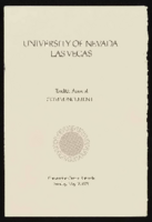
University of Nevada, Las Vegas (UNLV) 12th commencement program
Date
Archival Collection
Description
Commencement program from University of Nevada, Las Vegas Commencement Programs and Graduation Lists (UA-00115).
Text
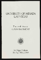
University of Nevada, Las Vegas (UNLV) 13th commencement program
Date
Archival Collection
Description
Commencement program from University of Nevada, Las Vegas Commencement Programs and Graduation Lists (UA-00115).
Text

Letter and envelope from Mary M. Bunker, Bunkerville, Nevada to John M. Bunker, St. Thomas, Nevada
Date
Archival Collection
Description
From the Syphus-Bunker Papers (MS-00169). The folder contains an original handwritten letter, a typed transcription of the same letter, the original envelope with the stamp removed, and a copy of the original letter.
Text
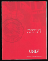
University of Nevada, Las Vegas (UNLV) Spring 2017 commencement program
Date
Archival Collection
Description
Commencement program from University of Nevada, Las Vegas Commencement Programs and Graduation Lists (UA-00115).
Text
Caliente, Nevada, 1900-1930
Level of Description
Scope and Contents
Materials contain photographs of Caliente, Nevada from 1900 to 1930, including photographs of the saloon fire from 1910, a bridge, a railroad tunnel, Caliente Grade School, and a mining crew.
Archival Collection
Collection Name: Elbert Edwards Photograph Collection
Box/Folder: N/A
Archival Component
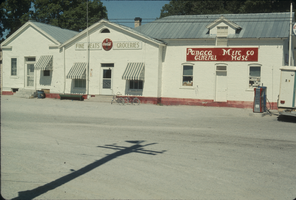
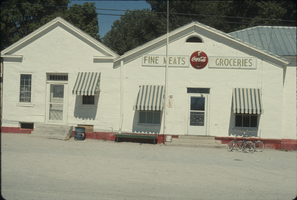
Slide of Panaca Mercantile, Nevada, 1970
Date
Archival Collection
Description
Image
Slide of Panaca Mecantile, Nevada, 1970
Date
Archival Collection
Description
Image
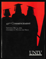
University of Nevada, Las Vegas (UNLV) 42nd commencement program
Date
Archival Collection
Description
Commencement program from University of Nevada, Las Vegas Commencement Programs and Graduation Lists (UA-00115).
Text
University of Nevada, Las Vegas Alumni Association Sports Memorabilia Collection
Identifier
Abstract
The University of Nevada, Las Vegas Alumni Association of Sports Memorabilia collection is comprised of the University of Nevada, Las Vegas (UNLV) sports memorabilia collected by the UNLV Alumni Association from the 1970s to 1997. The collection primarily includes memorabilia relating to UNLV basketball during the late 1980s and the early 1990s.
Archival Collection

University of Nevada, Las Vegas (UNLV) 41st commencement program
Date
Archival Collection
Description
Commencement program from University of Nevada, Las Vegas Commencement Programs and Graduation Lists (UA-00115).
Text