Search the Special Collections and Archives Portal
Search Results
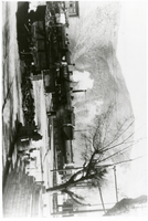
Photograph of steam trains, Caliente, Nevada, circa 1946
Date
1946
Archival Collection
Description
One of the last steam trains going toward Caliente roundhouse. The roundhouse alone used to employ about 150 men. It was torn down not long after this photograph was taken.
Image
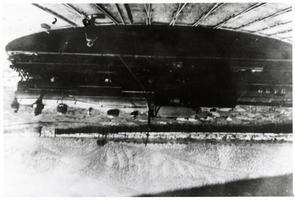
Photograph of turntable, Caliente, Nevada, circa 1920s
Date
1920 to 1929
Archival Collection
Description
Turntable. Railroad yard.
Image
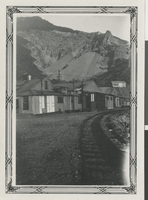
Photograph of Beatty train depot, Beatty, Nevada, April 2nd 1931
Date
1931-04-02
Archival Collection
Description
Black and white image of Beatty train depot at Beatty, Nevada.
Image
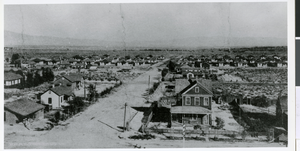
Photograph of railroad cottages in Downtown Las Vegas, 1910
Date
1910
Archival Collection
Description
The railroad (SP, LS & SL) cottages are shown in the background of this photo, 1910. Many of them still remain on south Second, Third, and Fourth Streets. In the foreground, is South Main Street with the two story house at the right erected by pacific Fruit Express Co. for an ice plant official.
Image
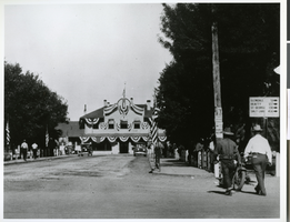
Photograph of the railroad depot, Las Vegas, 1929
Date
1929
Archival Collection
Description
The depot constructed by the SP, LA & SL R.R. which stood at the west end of Fremont Street. This photo was taken in 1929. Physical object has an insert containing additional biographical information.
Image
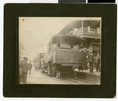
Photograph of a train at a depot, circa early 1900s
Date
1900 to 1910
Archival Collection
Description
Train and depot.
Image
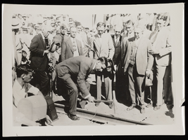
Photograph of Salt Lake and Boulder City railroad junction, (Nev.), September 17, 1930
Date
1930-09-17
Archival Collection
Description
Ray Lyman Wilbur drives the final silver spike into the ground at the railroad junction of Salt Lake RR at Boulder. Other men gather around as spectators, all wearing suits and ties.
Image
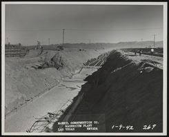
Photograph of steel tunnel construction, Henderson (Nev.), January 9, 1942
Date
1942-01-09
Archival Collection
Description
View looking east, showing reinforced steel for floor slab of electrical distribution tunnel.
Image
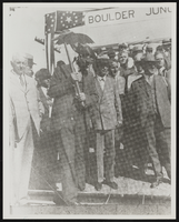
Dr. Ray Lyman Wilbur, United States Secretary of the Interior: photographic print
Date
1910 (year approximate) to 1945 (year approximate)
Archival Collection
Description
From the Elizabeth Harrington Photograph Collection (PH-00291). Inscription with image reads: "Driving the silver spike. Dr. Ray Lyman Wilbur, Secretary of the Interior, drives the last spike into tracks of railroads spur to the damsite. To the right of Dr. Wilbur is Senator Key Pittman. Nest to Pittman is Nevada Governor Fred Balzar. Second back from Senator Pittman is Las Vegas Mayor Fred Hesse. To the left of Dr. Wilbur is Carl R. Coray, Union Pacific Railroad president." - E(lizabeth) Harrington.
Image
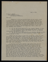
Correspondence, Thomas Toland to F.A. Truett
Date
1917-05-15
Archival Collection
Description
This folder is from the "Correspondence" file of the Sadie and Hampton George Papers (MS-00434)
Text
Pagination
Refine my results
Content Type
Creator or Contributor
Subject
Archival Collection
Digital Project
Resource Type
Year
Material Type
Place
Language
Records Classification
