Skip to main content
Main navigation
Finding Aids
Digital Projects
African American Experience in Las Vegas
Charles Saladino Landscape Architecture Collection
Culinary Union Photograph Collection
Dino at the Sands
Dreaming the Skyline
Entertainment
Historic Landscape of Nevada
Hoover Dam
Jamey Stillings
Menus: The Art of Dining
Nevada Test Site Oral History Project
Newspapers
Oral Histories Collection
Photograph Collections
Rebel Yell Newspaper
Showgirls
Southern Nevada: The Boomtown Years 1900-1925
Southern Nevada History in Maps
Southern Nevada Jewish Heritage Project
UNLV CSUN Records
Union Pacific Railroad Water Documents
Walking Box Ranch Collection
Welcome Home Howard
About
Request Images
Help
Provide Feedback
Special Collections Home
Search the Special Collections and Archives Portal
Search
Search
Breadcrumb
Special Collections and Archives Portal
Church buildings
Authority Sources
FAST (Faceted Application of Subject Terminology)
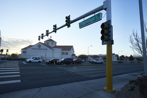
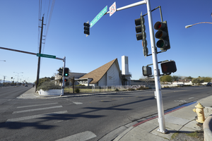
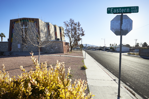
St. Viator Catholic Church sits on Eastern Avenue at Flamingo Road looking east-southeast in Las Vegas, Nevada: digital photograph
Image
View
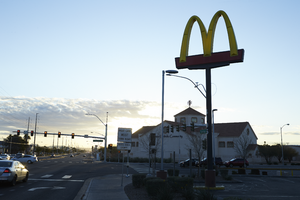
A McDonalds and the St. Viator Catholic Church on the corner of Flamingo Road and Eastern Avenue looking east in Las Vegas, Nevada: digital photograph
Image
View
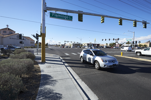
A car turns the corner at Flamingo Road at Eastern Avenue, looking south-southwest in Las Vegas, Nevada: digital photograph
Image
View
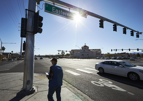
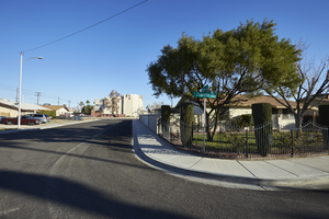
A pedestrian prepares to cross Eastern Avenue near Flamingo Road, looking east-southeast in Las Vegas, Nevada: digital photograph
Image
View
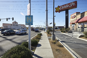
A fast food restaurant near Eastern Avenue near Flamingo Road, looking south in Las Vegas, Nevada: digital photograph
Image
View
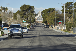
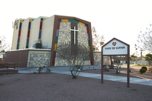
The Iglesia Cristiana Casa Del Alfarero church sits at the end of Griffith Avenue, looking west-southwest in Las Vegas, Nevada: digital photograph
Image
View
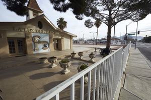
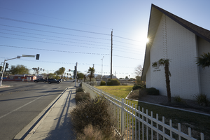
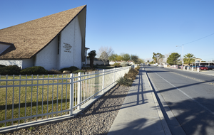
Exterior view of the La Luz del Mundo church on Eastern Avenue near US 95, looking northeast in Las Vegas, Nevada: digital photograph
Image
View
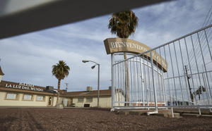
Exterior view of the La Luz del Mundo church on Eastern Avenue near US 95, looking west in Las Vegas, Nevada: digital photograph
Image
View
The Church of Jesus Christ of Latter-day Saints on East Tonopah Avenue and Civic Center Drive, looking south-southwest in North Las Vegas, Nevada: digital photograph
Image
View
The Church of Jesus Christ of Latter-day Saints on East Tonopah Avenue and Civic Center Drive, looking east-southeast in North Las Vegas, Nevada: digital photograph
Image
View
The Church of Jesus Christ of Latter-day Saints on East Tonopah Avenue and Civic Center Drive, looking west-southwest in North Las Vegas, Nevada: digital photograph
Image
View
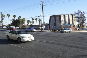
Traffic flows on Eastern Avenue in front of the Iglesia Universal del Reino de Dios (IURD) church, looking northeast in Las Vegas, Nevada: digital photograph
Image
View
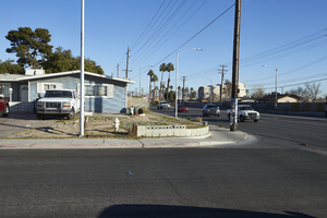
Residential housing and traffic on Eastern Avenue, looking north in Las Vegas, Nevada: digital photograph
Image
View
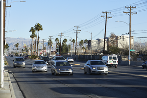
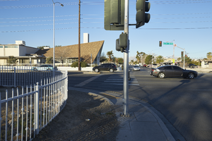
Traffic on Eastern Avenue, looking north in Las Vegas, Nevada: digital photograph
Image
View
The Iglesia Universal del Reino de Dios (IURD) church seen from a residential neighborhood, looking north-northeast in Las Vegas, Nevada: digital photograph
Image
View
Exterior view of the Iglesia Universal del Reino de Dios (IURD) church, looking east in Las Vegas, Nevada: digital photograph
Image
View
Exterior view of the Iglesia Universal del Reino de Dios (IURD) church, looking southeast in Las Vegas, Nevada: digital photograph
Image
View
A Church of Jesus Christ of Latter-day Saints at the corner of Civic Center Drive and Tonopah Avenue, looking south in North Las Vegas, Nevada: digital photograph
Image
View
Pagination
First page
« First
Previous page
‹‹
Page
1
Current page
2
Page
3
Page
4
Page
5
Page
6
Page
7
Page
8
Page
9
…
Next page
››
Last page
Last »