Skip to main content
Main navigation
Finding Aids
Digital Projects
African American Experience in Las Vegas
Charles Saladino Landscape Architecture Collection
Culinary Union Photograph Collection
Dino at the Sands
Dreaming the Skyline
Entertainment
Historic Landscape of Nevada
Hoover Dam
Jamey Stillings
Menus: The Art of Dining
Nevada Test Site Oral History Project
Newspapers
Oral Histories Collection
Photograph Collections
Rebel Yell Newspaper
Showgirls
Southern Nevada: The Boomtown Years 1900-1925
Southern Nevada History in Maps
Southern Nevada Jewish Heritage Project
UNLV CSUN Records
Union Pacific Railroad Water Documents
Walking Box Ranch Collection
Welcome Home Howard
About
Request Images
Help
Provide Feedback
Special Collections Home
Search the Special Collections and Archives Portal
Search
Search
Breadcrumb
Special Collections and Archives Portal
mine maps
Geological maps which map mineral deposits and underground mines.
Authority Sources
AAT
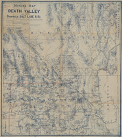
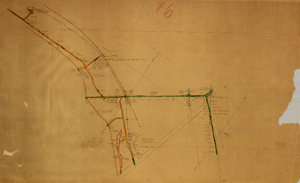
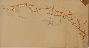
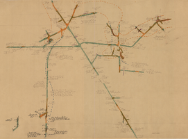
Miners map of Death Valley and the proposed Salt Lake railroads, January 1903
Image
View
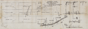
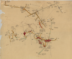
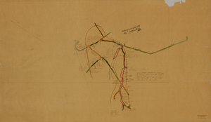
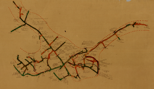
Cross-section maps of Combination and Florence Mines, Goldfield, Nevada, circa 1902-1908
Image
View
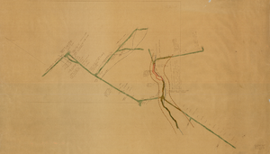
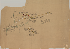
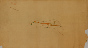
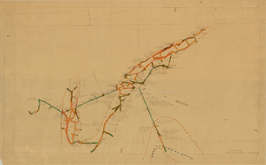
Longitudinal section map, Montana Tonopah Mine, circa 1900s-1910s
Image
View
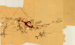
Fairday Mine property map, May 25, 1916
Image
View
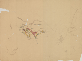
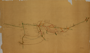
Map of underground workings in Potosi and Central Lodes, May 1906
Image
View
Map of the sixth level of the Clermont Mine, Goldfield, Nevada, circa 1902-1908
Image
View
Map of the fourth level of the Clermont Mine, Goldfield, Nevada, circa 1902-1908
Image
View
Map of the third level of the Clermont Mine, Goldfield, Nevada, circa 1902-1908
Image
View
Map of the 600 foot, or third, level of the Clermont Mine, Goldfield, Nevada, circa 1902-1908
Image
View
Map of the 280 foot level of the Combination Mine, Goldfield, Nevada, circa 1902-1908
Image
View
Map of the eighth level of the Clermont Mine, Goldfield, Nevada, circa 1902-1908
Image
View
Map of the fifth level of the Clermont Mine, Goldfield, Nevada, circa 1902-1908
Image
View
Map of the fourth level of the Clermont Mine, elevation 5228.8 feet, Goldfield, Nevada, circa 1902-1908
Image
View
Map of the first level of the Red Top Mine, Goldfield, Nevada, circa 1902-1908
Image
View
Map of the fourth level of the Red Top Mine, Goldfield, Nevada, circa 1902-1908
Image
View
Map of the 380 foot level of the Locke Mine, Goldfield, Nevada, circa 1902-1908
Image
View
Map of the 330 foot level of the Combination Mine, Goldfield, Nevada, circa 1902-1908
Image
View
Map of the 130 foot level of the Combination Mine, Goldfield, Nevada, circa 1902-1908
Image
View
Pagination
Current page
1
Page
2
Next page
››
Last page
Last »