Skip to main content
Main navigation
Finding Aids
Digital Projects
African American Experience in Las Vegas
Charles Saladino Landscape Architecture Collection
Culinary Union Photograph Collection
Dino at the Sands
Dreaming the Skyline
Entertainment
Historic Landscape of Nevada
Hoover Dam
Jamey Stillings
Menus: The Art of Dining
Nevada Test Site Oral History Project
Newspapers
Oral Histories Collection
Photograph Collections
Rebel Yell Newspaper
Showgirls
Southern Nevada: The Boomtown Years 1900-1925
Southern Nevada History in Maps
Southern Nevada Jewish Heritage Project
UNLV CSUN Records
Union Pacific Railroad Water Documents
Walking Box Ranch Collection
Welcome Home Howard
About
Request Images
Help
Provide Feedback
Special Collections Home
Search the Special Collections and Archives Portal
Search
Search
Breadcrumb
Special Collections and Archives Portal
School buses
Authority Sources
FAST (Faceted Application of Subject Terminology)
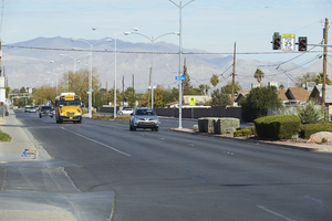
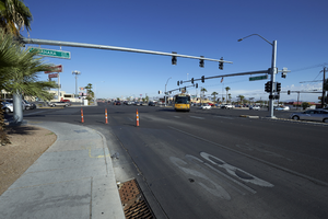
Cars travel on Civic Center Drive, looking north in North Las Vegas, Nevada: digital photograph
Image
View
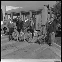
Rotary Club of Las Vegas "Special Children": photograph
Image
View
Rotary Club of Las Vegas "Special Children": photograph
Image
View
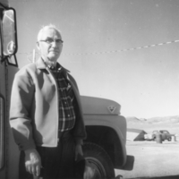
Madison Locke in front of school bus, Sarcobatus Flats: photographic print
Image
View
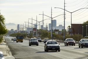
Cars on West Sahara Avenue east of Buffalo Drive with power lines and part of the Strip, looking east, Las Vegas, Nevada: digital photograph
Image
View
Traffic on Hollywood Boulevard north of East Sahara Avenue near Harney Middle School, looking northeast, Las Vegas, Nevada: digital photograph
Image
View
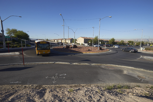
School bus using the roundabout that makes up the intersection of East Sahara Avenue and Hollywood Boulevard, looking south, Las Vegas, Nevada: digital photograph
Image
View
Terrasanta Condominium development on East Sahara Avenue west of Sloan Lane, looking west, Las Vegas, Nevada: digital photograph
Image
View
Traffic on West Sahara Avenue and Jones Boulevard, looking southwest, Las Vegas, Nevada: digital photograph
Image
View
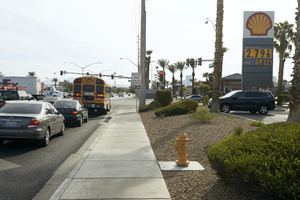
Traffic on West Sahara Avenue at Decatur Boulevard, looking east, Las Vegas, Nevada: digital photograph
Image
View
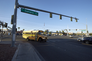
Traffic at the intersection of Boulder Highway / Fremont Street near East Sahara Avenue looking northwest, Las Vegas, Nevada: digital photograph
Image
View
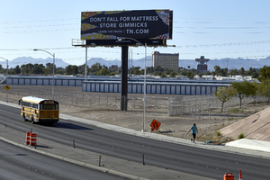
Bus and pedestrian on East Sahara Avenue and the US 95 freeway overpass looking east with billboard and Boulder Station, Las Vegas, Nevada: digital photograph
Image
View
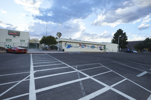
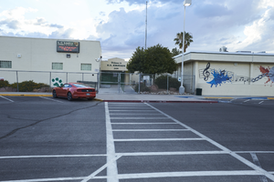
KO Knudson Middle School on East Sahara Avenue looking west, Las Vegas, Nevada: digital photograph
Image
View
KO Knudson Middle School on Atlantic Street north of East Sahara Avenue looking west, Las Vegas, Nevada: digital photograph
Image
View
KO Knudson Middle School on Atlantic Street north of East Sahara Avenue looking west, Las Vegas, Nevada: digital photograph
Image
View
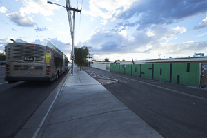
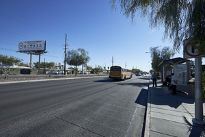
RTC bus stop on East Sahara Avenue near Joe W Brown Drive looking east, Las Vegas, Nevada: digital photograph
Image
View
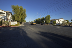
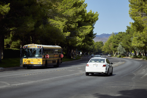
School bus on West Lake North Drive in The Lakes, Las Vegas, Nevada: digital photograph
Image
View
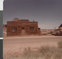
Photograph of Edwin Giles' Office Building, Goldfield (Nev.), 1940-1984
Image
View
Pagination
First page
« First
Previous page
‹‹
Page
1
Page
2
Current page
3
Page
4
Next page
››
Last page
Last »