Skip to main content
Main navigation
Finding Aids
Digital Projects
African American Experience in Las Vegas
Charles Saladino Landscape Architecture Collection
Culinary Union Photograph Collection
Dino at the Sands
Dreaming the Skyline
Entertainment
Historic Landscape of Nevada
Hoover Dam
Jamey Stillings
Menus: The Art of Dining
Nevada Test Site Oral History Project
Newspapers
Oral Histories Collection
Photograph Collections
Rebel Yell Newspaper
Showgirls
Southern Nevada: The Boomtown Years 1900-1925
Southern Nevada History in Maps
Southern Nevada Jewish Heritage Project
UNLV CSUN Records
Union Pacific Railroad Water Documents
Walking Box Ranch Collection
Welcome Home Howard
About
Request Images
Help
Provide Feedback
Special Collections Home
Search the Special Collections and Archives Portal
Search
Search
Breadcrumb
Special Collections and Archives Portal
maps (documents)
Authority Sources
Art & Architecture Thesaurus
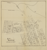
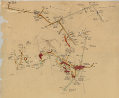
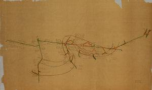
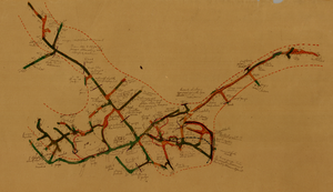
Plat map of Tonopah, Nye County (Nev.), 1900-1925
Image
View
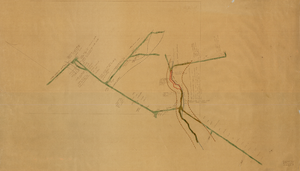
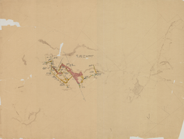
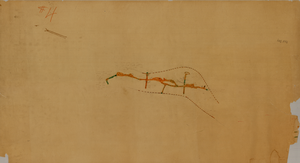
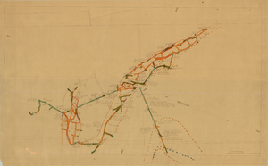
Map of the Clermont Mine, 6th level, Nye County (Nev.), 1900-1925
Image
View
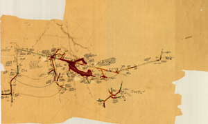
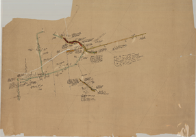
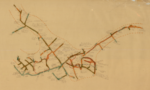
Map of the Clermont Mine, 4th level, Nye County (Nev.), 1900-1925
Image
View
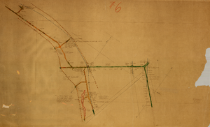
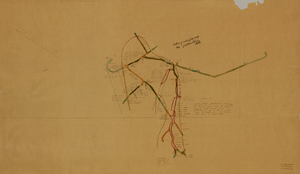
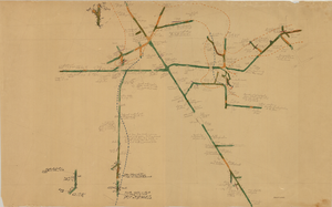
Map of the Clermont Mine, 3rd level, Nye County (Nev.), 1900-1925
Image
View
Map of the Clermont Mine, 600 ft., Nye County (Nev.), 1900-1925
Image
View
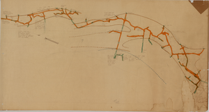
Map of the Combination Mine, 280 ft., Esmeralda County (Nev.), 1900-1925
Image
View
Map of the Clermont Mine, 8th level, Nye County (Nev.), 1900-1925
Image
View
Map of the Clermont Mine, 5th level, Nye County (Nev.), 1900-1925
Image
View
Map of the Clermont Mine, 4th level, Nye County (Nev.), 1900-1925
Image
View
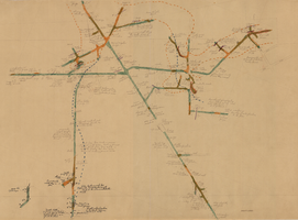
Map of the Red Top Mine, 1st level, Washoe County (Nev.), 1900-1925
Image
View
Map of the Red Top Mine, 4th level, Esmeralda County (Nev.), 1900-1925
Image
View
Map of the Locke Mine, 380 ft., Nye County (Nev.), 1900-1925
Image
View
Map of the Combination Mine, 330 ft., Nye County (Nev.), 1900-1925
Image
View
Map of the Combination Mine, 130 ft., Nye County (Nev.), 1900-1925
Image
View
Map of the Combination Mine, 328 ft., Nye County (Nev.), 1900-1925
Image
View
Map of the Red Top Mine, 3rd level, Washoe County (Nev.), 1900-1925
Image
View
Map of the Combination Mine, 380 ft., Nye County (Nev.), 1900-1925
Image
View
Map of the Red Top Mine, 2nd level, Washoe County (Nev.), 1900-1925
Image
View
Pagination
First page
« First
Previous page
‹‹
Page
1
Page
2
Page
3
Page
4
Current page
5
Page
6
Page
7
Next page
››
Last page
Last »