Skip to main content
Main navigation
Finding Aids
Digital Projects
African American Experience in Las Vegas
Charles Saladino Landscape Architecture Collection
Culinary Union Photograph Collection
Dino at the Sands
Dreaming the Skyline
Entertainment
Historic Landscape of Nevada
Hoover Dam
Jamey Stillings
Menus: The Art of Dining
Nevada Test Site Oral History Project
Newspapers
Oral Histories Collection
Photograph Collections
Rebel Yell Newspaper
Showgirls
Southern Nevada: The Boomtown Years 1900-1925
Southern Nevada History in Maps
Southern Nevada Jewish Heritage Project
UNLV CSUN Records
Union Pacific Railroad Water Documents
Walking Box Ranch Collection
Welcome Home Howard
About
Request Images
Help
Provide Feedback
Special Collections Home
"Access to archival materials stored in LASR may be limited at this time."
Search the Special Collections and Archives Portal
Search
Search
Breadcrumb
Special Collections and Archives Portal
Still Image
A static visual representation
Authority Sources
DCMI Type Vocabulary
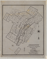
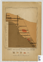
Map of Argentite: Red Mountain Mining District, Esmeralda County (Nev.),1908
Image
View
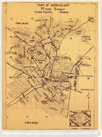
Map of Searchlight Mining District, Clark County (Nev.), 1905
Image
View
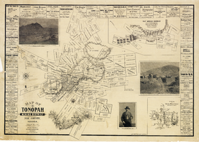
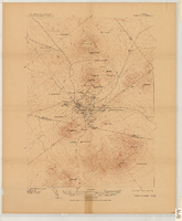
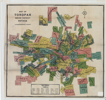
Map of the Tonopah Mining District, Nye County (Nev.), 1902
Image
View
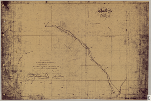
Map showing right of way of toll road constructed by Nevada Rapid Transit Co. in Lincoln County (Nev.), 1905
Image
View
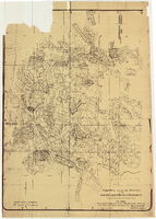
Map of a vertical cross-section through the Eureka Consolidated Mine, Eureka County (Nev.), 1883
Image
View
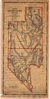
Map of Lincoln County (Nev.), 1908
Image
View
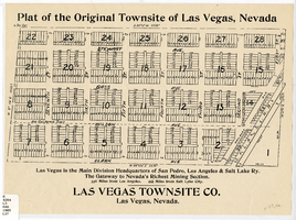
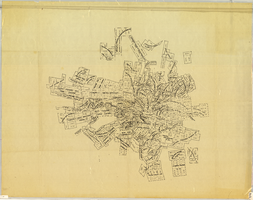
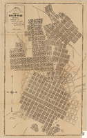
Plat map of the Original Townsite of Las Vegas (Nev.), 1905
Image
View
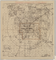
Map of the Las Vegas Valley, Clark County (Nev.). 1929
Image
View
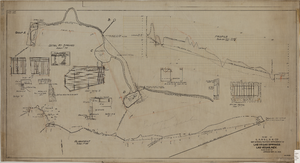
Map showing the proposed improvement of Las Vegas Springs, Las Vegas (Nev.), Clark County (Nev.), 1916
Image
View
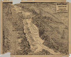
Map of Death Valley (Nev.), 1900-1925
Image
View
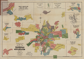
Map of the Tonopah Mining District, Tonopah (Nev.), 1910
Image
View
Map of the Tonopah Mining District, Nye County (Nev.), 1905
Image
View
Map of the Tonopah Mining District, Nye County (Nev.), 1905
Image
View
Map of approved mineral surveys in the Goldfield Mining District, Goldfield (Nev.), 1908
Image
View
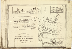
Map of the properties of the Tonopah Extension, Pittsburg Tonopah, Golden Anchor, and Red Rock Consolidated Mining Companies : Tonopah Mining District, Nye County (Nev.), 1901
Image
View
Map of the Tonopah Mining District, Nye County (Nev.), 1903
Image
View
Map of Goldfield (Nev.), 1907
Image
View
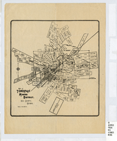
Map of the Tonopah Mining District, Tonopah (Nev.), 1903
Image
View
Pagination
First page
« First
Previous page
‹‹
…
Page
2168
Page
2169
Page
2170
Page
2171
Current page
2172
Page
2173
Page
2174
Page
2175
Page
2176
…
Next page
››
Last page
Last »