Search the Special Collections and Archives Portal
Search Results
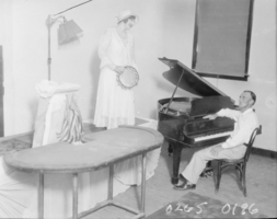
Film negative of Minnie Kennedy and Guy Edward Hudson, Las Vegas, August 23-30, 1931
Date
1931-08-23
1931-08-24
1931-08-25
1931-08-26
1931-08-27
1931-08-28
1931-08-29
1931-08-30
Archival Collection
Description
Minnie "Ma" Kennedy and Guy Edward "Whataman" Hudson at the Boulder Club in Las Vegas, Nevada.
Image
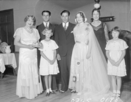
Film transparency of Minnie Kennedy and others, Las Vegas, 1929-1930
Date
1929 to 1930
Archival Collection
Description
Minnie "Ma" Kennedy, left, and other unidentified individuals at a wedding probably located in Las Vegas, Nevada.
Image
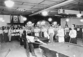
Film transparency of Recreation Tavern, Boulder City, Nevada, 1932
Date
1932
Archival Collection
Description
Guy Edward "Whataman" Hudson (center, behind counter) and Jack Laubach (in front of the counter and to Hudson's right), at Laubach's Recreation Tavern in Boulder City, Nevada. The tavern was the only place in Boulder City in 1932 where liquor was legal, including "near beer" and 4% wine. Individual Creator credit goes to Elton Garrett.
Image
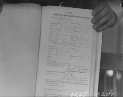
Film negative of marriage records, Clark County, Nevada, circa late 1920s - early 1930s
Date
1931
Archival Collection
Description
Description included with image: "Clark County, Nevada records of the marriage of Guy Edward "Whataman" Hudson and L. Margaret Newton in Las Vegas on Nov. 22, 1929. Hudson was still married to her when he married Ma Kennedy in 1931 at Black Canyon."
Image
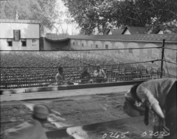
Film transparency of El Patio Theater, Las Vegas, 1929
Date
1929
Archival Collection
Description
A view unidentified individuals at El Patio Open Air Theatre in Las Vegas, Nevada.
Image
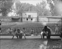
Film transparency of El Patio Theater, Las Vegas, 1929
Date
1929
Archival Collection
Description
A view unidentified individuals at El Patio Open Air Theatre in Las Vegas, Nevada.
Image
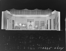
Film transparency of El Patio Theater, Las Vegas, 1929
Date
1929
Archival Collection
Description
A scene from an unidentified play being presented at El Patio Open Air Theatre in Las Vegas, Nevada 1929.
Image
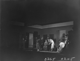
Film transparency of El Patio Theater, Las Vegas, 1929
Date
1929
Archival Collection
Description
A scene from an unidentified play being presented at El Patio Open Air Theatre in Las Vegas, Nevada.
Image
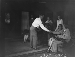
Film transparency of El Patio Theater, Las Vegas, 1929
Date
1929
Archival Collection
Description
A scene from an unidentified play being presented at El Patio Open Air Theatre in Las Vegas, Nevada.
Image
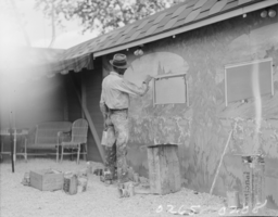
Film transparency of El Patio Theater, Las Vegas, 1929
Date
1929
Archival Collection
Description
An unidentified construction worker at El Patio Open Air Theatre in Las Vegas, Nevada.
Image
Pagination
Refine my results
Content Type
Creator or Contributor
Subject
Archival Collection
Digital Project
Resource Type
Year
Material Type
Place
Language
Records Classification
