Search Results
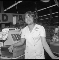
Set of photographs including employees at Vegas Village Thriftmart and Denton Drug: image 005
Date
1967
Archival Collection
Image

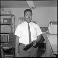
Set of photographs including employees at Vegas Village Thriftmart and Denton Drug: image 006
Date
1967
Archival Collection
Image
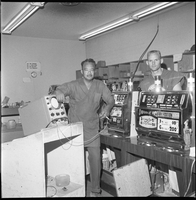
Set of photographs including employees at Vegas Village Thriftmart and Denton Drug: image 007
Date
1967
Archival Collection
Image
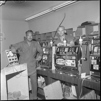
Set of photographs including employees at Vegas Village Thriftmart and Denton Drug: image 008
Date
1967
Archival Collection
Image
Set of photographs including employees at Vegas Village Thriftmart and Denton Drug: image 009
Date
1967
Archival Collection
Image

Set of photographs including employees at Vegas Village Thriftmart and Denton Drug: image 010
Date
1967
Archival Collection
Image

Set of photographs including employees at Vegas Village Thriftmart and Denton Drug: image 011
Date
1967
Archival Collection
Image

Set of photographs including employees at Vegas Village Thriftmart and Denton Drug: image 012
Date
1967
Archival Collection
Image

Set of photographs including employees at Vegas Village Thriftmart and Denton Drug: image 013
Date
1967
Archival Collection
Image
Set of photographs including employees at Vegas Village Thriftmart and Denton Drug: image 014
Date
1967
Archival Collection
Image