Search Results
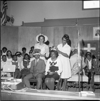
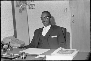
Set of photographs including Convocation of Church of God in Christ, and the Zion Committee: image 017
Date
1967
Archival Collection
Image
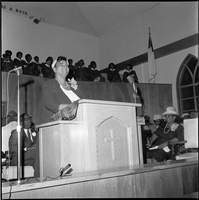
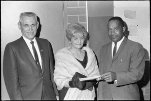
Set of photographs including Convocation of Church of God in Christ, and the Zion Committee: image 018
Date
1967
Archival Collection
Image
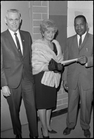
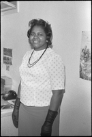
Set of photographs including Oakland visit to Vegas, Bishop Cox award, Elder O.L. Jefferson, March of Dimes, Sis Sanders, Johnie and Nel, and Eva Bass
Date
1967
Archival Collection
Description
Photographer's notations: XII, Oakland visit to Vegas 2-26-66, Bishop Cox Rec. award 2-27-66, Elder O.L. Jefferson, Greyson at Doolittle for March of Dimes, Sis Sanders, Johnie and Nel, Eva Bass, H. St. Some photos from this set were previously online with the digital ID pho023796.
Image
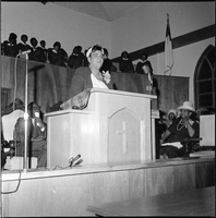
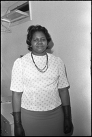
Set of photographs including Convocation of Church of God in Christ, and the Zion Committee: image 019
Date
1967
Archival Collection
Image