Search the Special Collections and Archives Portal
Search Results
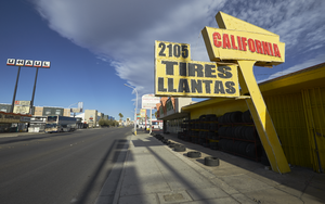
Signage for a tire shop on Fremont Street west of Eastern Avenue, looking west-northwest in Las Vegas, Nevada: digital photograph
Date
Archival Collection
Description
From the UNLV University Libraries Photographs of the Development of the Las Vegas Valley, Nevada (PH-00394). Part of the collection documents the entire 19 mile length of the north/south Eastern Avenue / Civic Center Drive alignment. This photograph was captured in the section of Eastern Avenue between Stewart Avenue and Charleston Boulevard.
Image
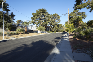
Looking west up Pueblo Way in the Paradise Palms neighborhood west of Eastern Avenue in Las Vegas, Nevada: digital photograph
Date
Archival Collection
Description
From the UNLV University Libraries Photographs of the Development of the Las Vegas Valley, Nevada (PH-00394). Part of the collection documents the entire 19 mile length of the north/south Eastern Avenue / Civic Center Drive alignment. This photograph was captured in the section of Eastern Avenue between Desert Inn and Flamingo Roads.
Image
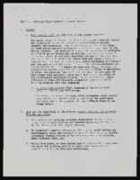
West Las Vegas Economic Planning Project: documents, budgets
Date
Archival Collection
Description
From the Clark County Economic Opportunity Board Records -- Series II: Projects. This folder contains documents on the West Las Vegas Economic Planning Project including topics like purpose, objectives, administration, and budgets.
Text
Brookings Mountain West: archived website, 2013 to 2022
Level of Description
Archival Collection
Collection Name: University of Nevada, Las Vegas Web Archive
Box/Folder: N/A
Archival Component
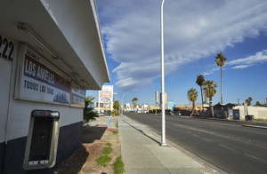
Business and a broken phone booth on Fremont Street west of Eastern Avenue, looking west in Las Vegas, Nevada: digital photograph
Date
Archival Collection
Description
From the UNLV University Libraries Photographs of the Development of the Las Vegas Valley, Nevada (PH-00394). Part of the collection documents the entire 19 mile length of the north/south Eastern Avenue / Civic Center Drive alignment. This photograph was captured in the section of Eastern Avenue between Stewart Avenue and Charleston Boulevard.
Image

Sahara West Library, looking northeast, Las Vegas, Nevada: digital photograph
Date
Archival Collection
Description
Image
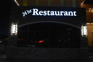
Gold Dust West wall mounted restaurant sign, Reno, Nevada
Date
Archival Collection
Description
Gold Dust West restaurant sign with lit neon.
444 Vine St, Reno, NV 89503
Image
400 West Surf Street Apartments: Chicago, Illinois
Level of Description
Scope and Contents
This set includes Carolyn-Surf Corporation (client).
Archival Collection
Collection Name: Homer Rissman Architectural Records
Box/Folder: Flat File 174
Archival Component
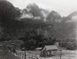
Photograph of a log cabin west of Las Vegas, circa 1920s to 1930s
Date
Archival Collection
Description
Image
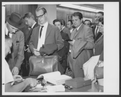
Photograph of people at Hughes West Terminal, Las Vegas, 1972
Date
Archival Collection
Description
Image
