Search Results
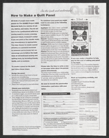
NAMES Project "How to make a Quilt Panel" flyer
Date
1996-03-08
Archival Collection
Description
From the Dennis McBride Collection on LGBTQ Las Vegas, Nevada (MS-00802) -- Alphabetical research files -- AIDS: Organizations: Names Project [AIDS quilt] file.
Text
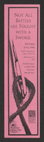
NAMES Project Quilt display in Washington, D.C.: bookmark
Date
1996
Archival Collection
Description
From the Dennis McBride Collection on LGBTQ Las Vegas, Nevada (MS-00802) -- Alphabetical research files -- AIDS: Organizations: Names Project [AIDS quilt] file.
Text
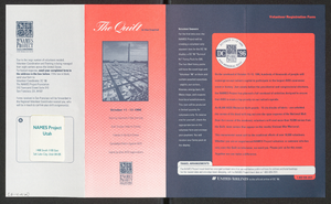
NAMES Project Quilt in the Capital volunteer registration form
Date
1996-10-11 to 1996-10-13
Archival Collection
Description
From the Dennis McBride Collection on LGBTQ Las Vegas, Nevada (MS-00802) -- Alphabetical research files -- AIDS: Organizations: Names Project [AIDS quilt] file.
Text
Las Vegas Hilton (International) projects
Level of Description
File
Archival Collection
Homer Rissman Architectural Records
To request this item in person:
Collection Number: MS-00452
Collection Name: Homer Rissman Architectural Records
Box/Folder: N/A
Collection Name: Homer Rissman Architectural Records
Box/Folder: N/A
Archival Component
Las Vegas Murals Project, 1977
Level of Description
File
Archival Collection
Lamar and Patricia Marchese Papers
To request this item in person:
Collection Number: MS-00884
Collection Name: Lamar and Patricia Marchese Papers
Box/Folder: Box 02
Collection Name: Lamar and Patricia Marchese Papers
Box/Folder: Box 02
Archival Component

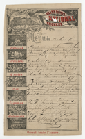
Grand Hôtel National Lucerne, menu, August 22, 1887
Date
1887-08-22
Archival Collection
Description
Note: Menu is partially handwritten; restaurant open all year Restaurant: Grand Hôtel National Lucerne Location: Lucerne, Switzerland
Text
Junior League of Las Vegas Oral History Project
Identifier
MS-01175
Abstract
The Junior League of Las Vegas Oral History Project (2011-2019) consists of five oral history interviews conducted by Carole Terry between 2011 and 2019. Interviewees discuss their experiences living in Las Vegas and being part of the Junior League of Las Vegas. Interviews exist as physical transcripts only; no audio is available.
Archival Collection
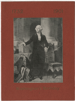
Washington's birthday at the Hotel Atlas, menu, Friday, February 22, 1901
Date
1901-02-22
Archival Collection
Description
Note: Menu is printed on textured red paper in gold ink. Full-length portrait of George Washington on one side Restaurant: Hotel Atlas Location: Dayton, Ohio, United States
Text