Search the Special Collections and Archives Portal
Search Results
Nevada Secretary of State Records
Identifier
Abstract
The Nevada Secretary of State Records contain biennial reports for the years 1877-1892, 1897-1904, 1909-1910, 1919-1920,1940-1942, and 1947-1974. Material includes notary appointments and official records of the acts of the Nevada Legislature.
Archival Collection

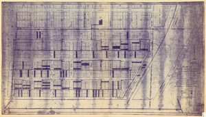
Plat of original townsite of Las Vegas, Clark County, Nevada, November 25, 1927
Date
Description
Subtitle: 'On N 1/2 of SW 1/4 section 27, T 20 S, R 61 E, M.D. Mer. showing cast iron water mains. Including location and distances of valves, fire hydrants, house connections, etc. Constructed by Las Vegas Land &Water Company. Construction completed Nov. 25-1927. Cast iron pipe system throughout made at Provo, Utah by Pacific States Cast Iron Pipe Company. R.N. Clark, Construction Engineer. Map and survey made by J.T. McWilliams, C.E., Las Vegas, Nev.' Map shows ownership of some parcels of land. Scale [ca. 1:960]. 1 inch to 80 feet. Blueline print. Plat map.
Image

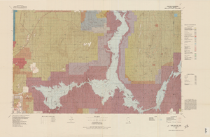
Topographic map of Lake Mead quadrangle, Nevada and Arizona, 1979
Date
Description
universal transverse Mercator proj. (W 115°00'--W 114°00'/N 36°30'--N 36°00'). Series: Surface-minerals management status. United States. Bureau of Land Management. Surface-minerals management status. Filing title: Lake Mead, Nev.--Ariz., 1979. Shows township and range lines. Published by United States, Dept. of the Interior, Bureau of Land Management
Denver, Colo. : For sale by U.S. Geological Survey,
Image

Map of Las Vegas and vicinity, Clark County, Nevada, April 15, 1951
Date
Description
Image
Smith, A., 1999, 'Telephone Log for Disturbed Area of Muck Pile in a Given Year," personal communication with C. Fosmire (PNNL), February 4, Argonne National Laboratory, Argonne, Illinois, 1999
Level of Description
Archival Collection
Collection Name: Environmental Radiation Protection Standards for Yucca Mountain, Nevada
Box/Folder: Box 22
Archival Component
DOT (U.S. Department of Transportation), Undated, Biennial Report on Hazardous Materials Transportation in Calendar Years 1992-1993, Research and Special Programs Administration, Washington. D.C., undated
Level of Description
Archival Collection
Collection Name: Environmental Radiation Protection Standards for Yucca Mountain, Nevada
Box/Folder: Box 25
Archival Component

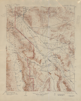
Topographic map of the Furnace Creek quadrangle, Nevada and California, 1947
Date
Description
Text
Dorothy Ray Photograph Collection on Southern Nevada
Identifier
Abstract
The Dorothy Ray Photograph Collection on Southern Nevada, approximately 1900-1946, depicts infrastructure in Caliente, Nevada in the early to mid-twentieth century. The collection also contains images of a flash flood that occurred in 1905 in Carp, Nevada and Stine, Nevada that washed away roads and railroad tracks. This collection provides historical documentation about early to mid-century Caliente, Nevada.
Archival Collection
Beck, Evelyn Ruth, "A five year trend analysis of attitudes of female high school seniors toward post-high school work and education possibilities", 1993 Spring
Level of Description
Archival Collection
Collection Name: University of Nevada, Las Vegas Theses, Dissertations, and Honors Papers
Box/Folder: Box 084
Archival Component
Donald Cowper Henderson, May Stephen Henderson Murray, Nancy Henderson, Margaret Henderson Martin, and their mother Mary, San Bernardino, California, approximately 1900-1905
Level of Description
Archival Collection
Collection Name: Fayle Family Photographs
Box/Folder: Folder 01
Archival Component
