Search the Special Collections and Archives Portal
Search Results
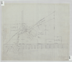
Elks Helldorado Grounds, Las Vegas, Nevada: map
Date
Description
Map of Elks Helldorado Grounds in Las Vegas, Nevada. Map is from the Library's Union Pacific Collection, maps/drawings, Las Vegas Ranch folder 5A, drawing no. F-403. Scale approximately 1:2,400.
Image
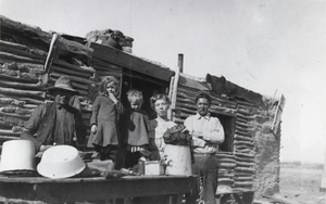
Residential structure located on the Kelsay Ranch, Nevada: photographic print
Date
Archival Collection
Description
From the Nye County, Nevada Photograph Collection (PH-00221) -- Series V. Smoky Valley, Nevada and Round Mountain, Nevada -- Subseries V.C. Lofthouse-Berg Families (Round Mountain). Persons pictured are unidentified except for the man on the far right: Gard Kelsay, Fulton Little Kelsay’s brother.
Image
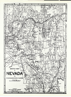
Photograph of a sketch map of Nevada and a portion of Southeastern California, 1906
Date
Archival Collection
Description
Image
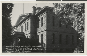
Postcard of the Old U. S. Mint, Carson City, Nevada, 1869 - 1899
Date
Archival Collection
Description
Image
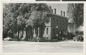
Postcard of the Old U. S. Mint, Carson City, Nevada, 1869 - 1899
Date
Archival Collection
Description
Image
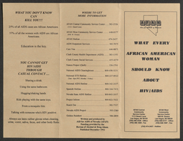
Aid for AIDS of Nevada "What every African American woman should know about HIV/AIDS" pamphlet
Date
Archival Collection
Description
Text
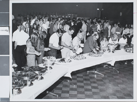
Photograph of commencement reception for the University of Nevada, Las Vegas, 1971
Date
Archival Collection
Description
Image
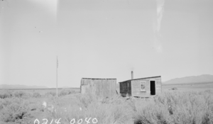
Photograph of Cave Valley School, Lincoln County, Nevada, 1938.
Date
Archival Collection
Description
Image
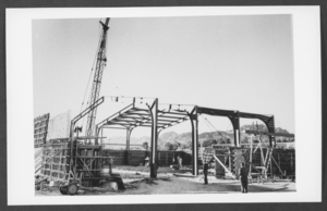
Photograph of construction project, Boulder City, Nevada, October 1951
Date
Archival Collection
Description
Image

Slide of earthquake fault, Churchill County, Nevada, circa 1960s
Date
Archival Collection
Description
Image
