Search the Special Collections and Archives Portal
Search Results
Images from campus taken February 21, 2012 at the University of Nevada, Las Vegas: digital photographs
Date
Archival Collection
Description
Image
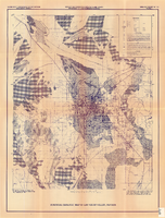
Surficial geologic map of Las Vegas Valley, Nevada, circa 1981
Date
Description
84-130. Originally published as plate 1 of Ground-water conditions in Las Vegas Valley, Clark County, Nevada. Part I. Hydrogeologic framework / by Russell W. Plume, published by the U.S. Geological Survey in 1984 as Open-file report 84-130.
Image
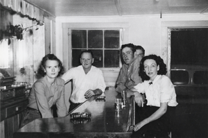
Original bar, Carver's Station, Nevada: photographic print
Date
Archival Collection
Description
From the Nye County, Nevada Photograph Collection (PH-00221) -- Series V. Smoky Valley, Nevada and Round Mountain, Nevada -- Subseries V.A. Carver, Carver-Duhme, and Carver-Book Families (Smoky Valley). Jean Dutton Carver, Gerald Miller Carver, two unidentified cowboys from the R.O. Ranch, and Patsy Wohlgamuth (identified from left to right). The bar originally came from a hotel located in Round Mountain, Nevada. The hotel had been badly damaged by a flood in 1931 and the bar itself was washed away. The Carvers found where it had been deposited by the flood waters, dug it up, and refinished it when they constructed their bar at Carver's Station.
Image
GTE Everything Pages for Las Vegas, Nevada
Identifier
Abstract
The GTE Everything Pages for Las Vegas, Nevada includes two identical phone directories published by the GTE Directories Corporation for 1990 to 1991.
Archival Collection
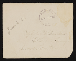
Letter and envelope from Mary Etta Syphus, Panaca, Nevada to John M. Bunker, Eldorado Canyon, Nevada
Date
Archival Collection
Description
From the Syphus-Bunker Papers (MS-00169). The folder contains an original handwritten letter, a typed transcription of the same letter, the original envelope with the stamp removed, and a copy of the original letter.
Text
Republican Women of Las Vegas, Nevada Records
Identifier
Abstract
The collection is comprised of the records of the Republican Women of Las Vegas, Nevada dating from 1953 to 1992. The collection includes scrapbooks, photographs, invitations, fliers, magazines, and awards.
Archival Collection
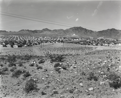
Photograph of Boulder City, Nevada, March 22, 1935
Date
Archival Collection
Description
Image
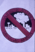
Nevada Test Site protest sign: photographic slide
Date
Archival Collection
Description
From the Sister Klaryta Antoszewska Photograph Collection (PH-00352). Written on sign: "Sagebrush Alliance Las Vegas Nevada".
Image
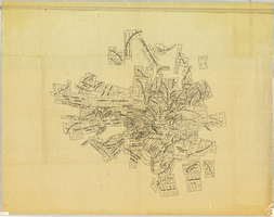
Map of Tonopah Mining District, Nevada, circa 1905
Date
Description
Image
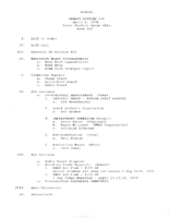
Meeting minutes for Consolidated Student Senate, University of Nevada, Las Vegas, April 4, 1978
Date
Archival Collection
Description
Text
