Search the Special Collections and Archives Portal
Search Results
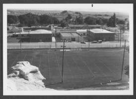
Photograph of a school, Panaca, Nevada, circa 1950s-1970s
Date
1950 to 1979
Archival Collection
Description
Black and white picture of a school in Panaca, Nevada.
Image
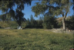
Slide of Resting Springs, Nevada, circa 1960s - 1983
Date
1960 to 1983
Archival Collection
Description
Resting Springs on old Spanish Trails in Nevada.
Image
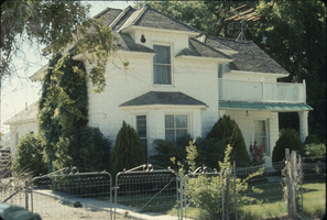
Slide of home, Panaca, Nevada, circa 1960s - 1970s
Date
1960 to 1979
Archival Collection
Description
A home built by G. L. Edwards in 1860s at Panaca, Nevada.
Image
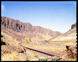
Film transparency of railroad tracks in Northern Nevada, 1971
Date
1971
Archival Collection
Description
Railroad tracks run trough a canyon in Northern Nevada.
Image
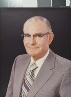
Photograph of Jo McBeath, Henderson, Nevada, circa 1978
Date
1978
Archival Collection
Description
A portrait of Henderson pharmacist Jo McBeath in Henderson, Nevada.
Image
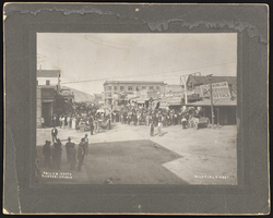
People outside in Goldfield and Tonopah, Nevada: photographic prints
Date
1900 (year approximate) to 1902 (year approximate)
Archival Collection
Description
From the Nevada Mining Photograph Collection (PH-00361).
Image

Paseo Verde Drive, Henderson, Nevada: digital photograph
Date
2018-02-03
Archival Collection
Description
Trails and sidewalks are abundant and well used as landscaping keeps traffic away from pedestrians along Paseo Verde Parkway near Valle Verde Drive in Henderson, Nevada.
Image
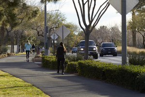
Paseo Verde Drive, Henderson, Nevada: digital photograph
Date
2018-02-03
Archival Collection
Description
Trails and sidewalks are abundant and well used as landscaping keeps traffic away from pedestrians along Paseo Verde Parkway near Valle Verde Drive in Henderson, Nevada.
Image

Goldfield and Tonopah, Nevada: photographic prints, image 001
Date
2000-12-01
Description
From the Nevada Mining Photograph Collection (PH-00361) --
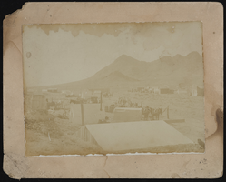
Goldfield and Tonopah, Nevada: photographic prints, image 002
Date
2000-12-01
Description
From the Nevada Mining Photograph Collection (PH-00361).
Pagination
Refine my results
Content Type
Creator or Contributor
Subject
Archival Collection
Digital Project
Resource Type
Year
Material Type
Place
Language
Records Classification
