Search the Special Collections and Archives Portal
Search Results

Slide of Candelaria, Nevada, circa 1960s - 1970s
Date
1960 to 1979
Archival Collection
Description
An interior view of a tunnel in Candelaria, Nevada.
Image
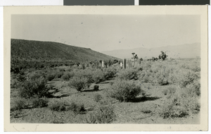
Photograph of a cemetery in Hiko, Nevada, circa 1920s
Date
1920 to 1929
Archival Collection
Description
A small, fenced cemetery in Hiko, Nevada.
Image
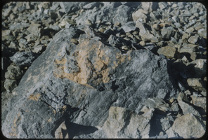
Slide of a rock formation, Nevada, circa 1960s
Date
1960 to 1969
Archival Collection
Description
A picture of a rock formation somewhere in Nevada.
Image

Postcard of an atomic explosion, Nevada, circa 1950s
Date
1950 to 1959
Archival Collection
Description
Photograph of an atomic explosion at Frenchman's Flat which is located in the Nevada National Security Site. It is just south of Yucca Flat, in Southern Nevada.
Image

Nevada State Museum archaeology reports
Date
1963-11
1963-10
1963-09
1963-08
1963-07
1963-06
1963-05
1963-04
1963-03
1963-08-02
1963-08-06
Archival Collection
Description
Charles Rozaire's monthly reports as curator of archaeology at the Nevada State Museum. Also included is a site survey record from Washoe, a hand drawn site exacavation map, an archaeological stratigraphy record, a daily field record, and a pictograph record from Wall Canyon Ranch.
Text
Nevada Theater, Wells, 1986
Level of Description
File
Archival Collection
Neon in Nevada Photograph Collection
To request this item in person:
Collection Number: PH-00225
Collection Name: Neon in Nevada Photograph Collection
Box/Folder: Binder PB-005
Collection Name: Neon in Nevada Photograph Collection
Box/Folder: Binder PB-005
Archival Component

Geologic map and sections of Muddy Mountains, St. Thomas Gap, and part of the Grand Wash Cliffs, 1928
Date
1928
Description
'Geology by C.R. Longwell.' At top of map: 'U.S. Geological Survey Bulletin 798, plate 1.' Includes four colored cross-sections. 1:250,000 (W 115°00'--W 113°45'/N 36°45'--N 36°00'). Series: Bulletin (Geological Survey (U.S.)
no. 798. Originally published as plate 1 in: Geology of the Muddy Mountains, Nevada, with a sections through the Virgin Range to the Grand Wash Cliffs, Arizona / by Chester R. Longwell. Washington, D.C. : Government Printing Office, 1928. (Bulletin ((Geological Survey (U.S.)), no. 798).
no. 798. Originally published as plate 1 in: Geology of the Muddy Mountains, Nevada, with a sections through the Virgin Range to the Grand Wash Cliffs, Arizona / by Chester R. Longwell. Washington, D.C. : Government Printing Office, 1928. (Bulletin ((Geological Survey (U.S.)), no. 798).
Image
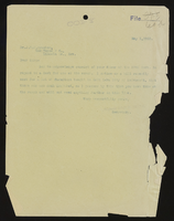
Las Vegas Ranch, Nevada (3 of 4)
Date
1903 to 1904
Archival Collection
Description
Series 1. San Pedro, Los Angeles and Salt Lake Railroad -- J. Ross Clark/Los Angeles Office Files
Mixed Content
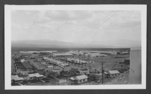
Aerial photograph of Boulder City, Nevada, 1933
Date
1933
Archival Collection
Description
An aerial view of Boulder City, Nevada.
Image
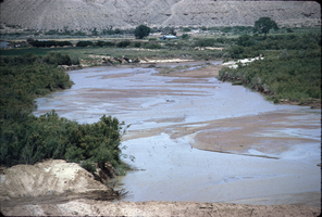
Slide of Virgin River, Nevada, circa 1960s
Date
1960 to 1969
Archival Collection
Description
Virgin River at Bunkerville Dam in Nevada.
Image
Pagination
Refine my results
Content Type
Creator or Contributor
Subject
Archival Collection
Digital Project
Resource Type
Year
Material Type
Place
Language
Records Classification
