Search the Special Collections and Archives Portal
Search Results
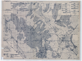
General geologic map of Las Vegas, Pahrump, and Indian Spring Valleys, Clark and Nye Counties, Nevada, 1948
Date
Description
At top of map: 'United States Department of the Interior, Geological Survey. State Engineer of Nevada. Water resources bulletin No. 5, Plate 1.' Relief shown by spot heights. Includes 3 inset maps of wells and springs in the vicinity of Pahrump, Manse Ranch and Indian Springs, Nevada. Scale [ca. 1:126,720. 1 inch to approx. 2 miles] (W 116°--W 115°/N 40°--N 36°). Originally published as plate 1 in Geology and water resources of Las Vegas, Pahrump, and Indian Spring Valleys, Clark and Nye Counties, Nevada by George B. Maxey and C.H. Jameson (1948), which is number 5 of the Water resources bulletin published by the Nevada Office of the State Engineer.
Image
The Golden Treasury of the best songs and lyrical poems in the English language. London: George Routledge & Sons, Ltd., approximately 1900 to 1909
Level of Description
Archival Collection
Collection Name: Mavis Eggle "Books as They Were Bought" Collection
Box/Folder: No Container 00
Archival Component
Postcard: from left to right: Albert Henderson, Alice Henderson O'Brien (Albert S. Henderson's sister), and Dr. O'Brien at the World's Fair, 1900s
Level of Description
Archival Collection
Collection Name: Albert S. Henderson Photograph Collection
Box/Folder: Folder 01
Archival Component
Dorothy Ray Photograph Collection on Southern Nevada
Identifier
Abstract
The Dorothy Ray Photograph Collection on Southern Nevada, approximately 1900-1946, depicts infrastructure in Caliente, Nevada in the early to mid-twentieth century. The collection also contains images of a flash flood that occurred in 1905 in Carp, Nevada and Stine, Nevada that washed away roads and railroad tracks. This collection provides historical documentation about early to mid-century Caliente, Nevada.
Archival Collection
"A burrow train on road to Gold Reef" three burrows, five men, and a dog stand on a dirt road: glass plate negative, approximately 1900 to 1909
Level of Description
Archival Collection
Collection Name: E. W. Smith Glass Plate Negatives
Box/Folder: Box 01
Archival Component
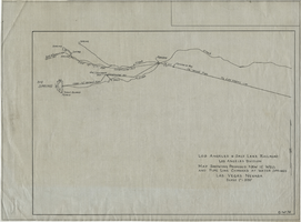
Map showing proposed new 12" well and pipe line changes at Water Springs, Las Vegas, Nevada, circa 1920
Date
Archival Collection
Description
Image
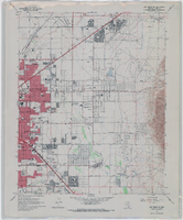
Topographic map of the northeast quadrangle of the metropolitan Las Vegas, Nevada area, 1967
Date
Description
Image
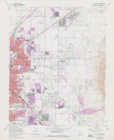
Topographic map of the northeast quadrangle of the metropolitan Las Vegas, Nevada area, 1973
Date
Description
Image
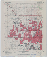
Topographic map of the northwest quadrangle of the metropolitan Las Vegas, Nevada area, 1967
Date
Description
Image
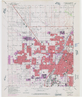
Topographic map of the northwest quadrangle of the metropolitan Las Vegas, Nevada area, 1973
Date
Description
Image
