Search the Special Collections and Archives Portal
Search Results
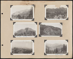
Southern Nevada Photo Album, image 074
Description
74.1 Sentenial. ; 74.2 Dead Sheep Canyon. ; 74.3 Ridge Rock. ; 74.4 Photo of a mountain. ; 74.5 "Tallest and highest peak and ridge in the Sierra Nevadas"; aerial shot of a city. [probably Reno]. ; 74.6 Source of Little Falls, [above Mt. Charleston Lodge in park].
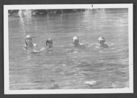
Photograph of children swimming, Panaca, Nevada, circa 1972
Date
1971 to 1973
Archival Collection
Description
Four unidentified children swimming in Panaca, Nevada.
Image
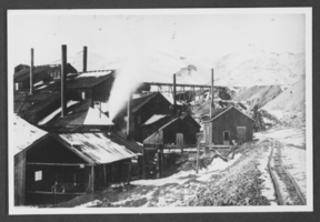
Photograph of Grand Prize Mill, Tuscarora, Nevada, 1891
Date
1891
Archival Collection
Description
Grand Prize Mill at Tuscarora, Nevada, 1891.
Image
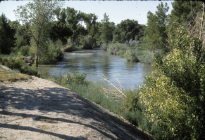
Slide of Lahontan Project, Fallon, Nevada, circa 1960s
Date
1960 to 1969
Archival Collection
Description
Description provided: "Lahontan Project in Fallon, Nevada."
Image
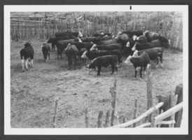
Photograph of cattle in Panaca, Nevada, circa 1950s-1970s
Date
1950 to 1979
Archival Collection
Description
Black and white image of cattle in Panaca, Nevada.
Image
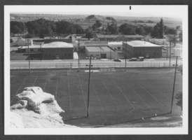
Photograph of a school, Panaca, Nevada, circa 1950s-1970s
Date
1950 to 1979
Archival Collection
Description
Black and white picture of a school in Panaca, Nevada.
Image
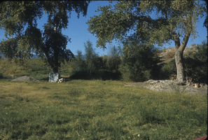
Slide of Resting Springs, Nevada, circa 1960s - 1983
Date
1960 to 1983
Archival Collection
Description
Resting Springs on old Spanish Trails in Nevada.
Image
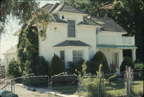
Slide of home, Panaca, Nevada, circa 1960s - 1970s
Date
1960 to 1979
Archival Collection
Description
A home built by G. L. Edwards in 1860s at Panaca, Nevada.
Image
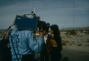
Slide of people at a protest near the Nevada Test Site, 1983
Date
1983
Archival Collection
Description
Color image of a man with a video camera and possibly a reporter asking questions of protesters with the Lenten Desert Experience (also called the Nevada Desert Experience), a group demonstrating against nuclear testing.
Image

University of Nevada, Las Vegas (UNLV) College of Business and Economics Diploma Ceremony program
Date
1995-05-13
Archival Collection
Description
Commencement program from University of Nevada, Las Vegas Commencement Programs and Graduation Lists (UA-00115).
Text
Pagination
Refine my results
Content Type
Creator or Contributor
Subject
Archival Collection
Digital Project
Resource Type
Year
Material Type
Place
Language
Records Classification
