Search the Special Collections and Archives Portal
Search Results
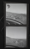
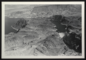
Aerial photograph of Hoover Dam, circa mid 1930s
Date
1935 to 1936
Archival Collection
Description
An image showing an aerial view of Hoover Dam and Lake Mead. Note: Boulder Dam was officially renamed Hoover Dam in 1947.
Image
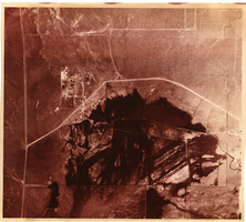
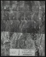
Aerial view of the Bonelli quadrant in Arizona-Nevada: photographic print
Date
1950
Archival Collection
Description
From the Army Mapping Service Aerial Photographs of Southern and Western Nevada (PH-00285). Aerial photographs, composites, and indices. High altitude aerial photographs, Quad. Bonelli, State: Arizona - Nevada. U.S. Geological Survey, Army Map Service. Flight Scale I-47200Project-GS-LJ. Index copied -8-26-50. Flying Comp. -7-26-50
Image
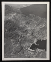
Aerial photograph of Hoover Dam, circa 1933-1935
Date
1934 to 1935
Archival Collection
Description
Aerial view of the nearly completed Hoover Dam in Black Canyon prior to the release of water.
Image
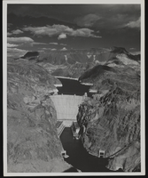
Aerial view of the Hoover Dam, approximately 1934-1936
Date
1934 to 1936
Archival Collection
Description
An aerial view of the Hoover Dam and the scenery around it. Site Name: Hoover Dam (dam)
Image
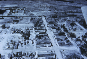
Slide of aerial view of Las Vegas, circa early 1900s
Date
1900 to 1929
Archival Collection
Description
Aerial view of Las Vegas.
Image
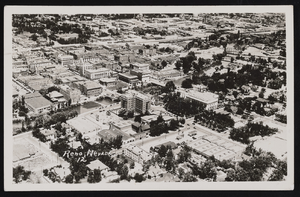
Reno, Nev. aerial view, front: postcard
Description
Front view of a postcard showing aerial view of Reno, Nevada in 1912.
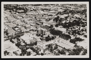
Reno, Nev. aerial view: postcard
Date
1912
Archival Collection
Description
Postcard with an aerial view of Reno, Nevada in 1912. It is being sent to the Shockley's in Los Angeles, California.
Image
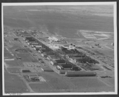
Aerial photograph of plants and foundries in Henderson, Nevada, circa 1963
Date
1962 to 1964
Archival Collection
Description
Aerial photograph of the plants in Henderson, Nevada, including American Potash.
Image
Pagination
Refine my results
Content Type
Creator or Contributor
Subject
Archival Collection
Digital Project
Resource Type
Year
Material Type
Place
Language
