Search the Special Collections and Archives Portal
Search Results
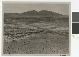
Aerial photograph over Cheyenne Avenue looking southeast, June 5, 1973
Date
Archival Collection
Description
Aerial view over Cheyenne Avenue looking southeast towards Frenchman Mountain
Transcribed Notes: Handwritten on back: "Over Cheyenne looking SE" Stamped on back: "CNLV Engineering Dept"
Image
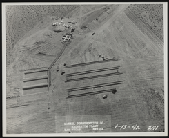
Photograph of aerial view of plant construction, Henderson (Nev.), January 13, 1942
Date
Archival Collection
Description
Image
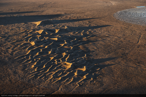
Aerial photo of Crescent Dunes Solar, near Tonopah, Nevada: digital photograph
Date
Archival Collection
Description
Photographer's assigned keywords: "110 megawatts; CSP; Concentrated Solar Energy; Concentrated Solar Power; Crescent Dunes; NV; Nevada; Solar Reserve; SolarReserve; Tonopah; aerial; concentrated solar thermal; green energy; molten salt; off-site; orphan aerials; renewable energy; storage."
Image
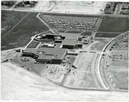
Aerial photograph of Clark County Community College, North Las Vegas, Nevada, circa early 1980s
Date
Archival Collection
Description
Image
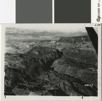
Aerial photograph of Black Canyon, Hemenway Wash, and Fortification Hill, before 1930
Date
Archival Collection
Description
Aerial view looking north over Black Canyon, Hemenway Wash, and Fortification Hill
Image
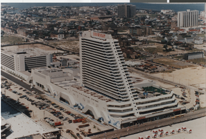
Photograph of an aerial view of the Showboat Hotel and Casino (Atlantic City), 1987
Date
Archival Collection
Description
An aerial view of the Showboat Hotel and Casino in Atlantic City.
Site Name: Showboat Hotel and Casino (Atlantic City)
Address: 801 Boardwalk, Atlantic City, NJ
Image
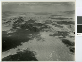
Aerial photograph looking northeast over Frenchman Mountain, circa 1949
Date
Archival Collection
Description
Aerial view of Frenchman Mountain and a little of the Las Vegas Wash area. Lake Mead can barely be seen in the distance.
Transcribed Notes: Transcribed from handwritten notes on back: "View NE Frenchman Mt left of center"
Image
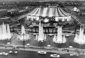
Aerial photograph of the front exterior of Circus Circus (Las Vegas), 1968
Date
Archival Collection
Description
Aerial view of the front exterior and fountains in front of Circus Circus on the Las Vegas Strip before the construction of the first hotel tower.
Site Name: Circus Circus Las Vegas
Address: 2880 Las Vegas Boulevard South
Image
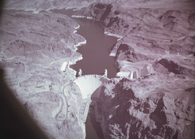
Film transparency showing an aerial view of Hoover Dam, circa mid 1950s
Date
Archival Collection
Description
Image
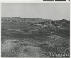
Aerial photograph of Basic Magnesium Inc. plant, Gabbs Valley (Nev.), December 28, 1942
Date
Archival Collection
Description
Image
