Search the Special Collections and Archives Portal
Search Results
Aerial footage of Las Vegas Strip: video
Date
1998
Archival Collection
Description
Aerial b-roll footage of the Las Vegas Strip (day) starting near Mandalay Bay and Luxor and looking north to Stratosphere; aerial views (dusk/night) of the Strip starting near the Stratosphere looking south, Stardust and Treasure Island, the Rio, Mirage, MGM, Excalibur, Luxor, and Mirage volcano show. Video cuts in and out for the last four minutes. Unclear if aerial footage is from KTNV or UNLV. Original media Betacam SP, color, aspect ratio 4 x 3, frame size 720 x 486. From the UNLV TV Audiovisual Collection (UA-00098) – Digitized audiovisual material file.
Moving Image
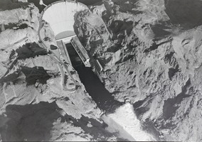
Film transparency of aerial view of completed Hoover Dam, circa 1935
Date
1935
Archival Collection
Description
An aerial showing diversion tunnels in use on the completed dam.
Image

Aerial photograph of Las Vegas Strip, 1952
Date
1952
Archival Collection
Description
Aerial view of Las Vegas Strip, 1952, from the Flamingo Hotel looking north. Downtown Las Vegas can be seen in the distance.
Image
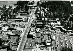
Aerial photograph of Stateline, Nevada, circa 1958
Date
1957 to 1959
Archival Collection
Description
Aerial view of Stateline, Nevada. Harrah's Tahoe is under construction on the left center of the photograph.
Address: Stateline; Douglas County; Nevada
Image
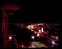
An aerial view of the Las Vegas Strip at night: photographic film
Date
1960 (year approximate) to 1986 (year approximate)
Archival Collection
Description
An aerial view of the Las Vegas Strip at night taken from the Hotel Flamingo looking north. For a southern view see Source ID 0220_0015, Digital ID pho026249.
Image
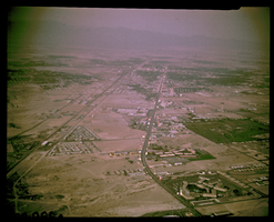
A daytime aerial view of the Las Vegas Strip: photographic film
Date
1960 (year approximate) to 1986 (year approximate)
Archival Collection
Description
A daytime aerial view of the of Las Vegas Strip. The view is from the Hotel Flamingo looking north. For a similar view at night see Source ID 0220_0014, Digital ID pho026248. For a southern view at night see Source ID 0220_0015, Digital ID pho026249.
Image
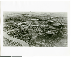
Aerial photograph of an unknown landscape, circa 1938
Date
1938
Archival Collection
Description
An aerial photograph possibly showing Fairbanks, Alaska. There is an arrow indicating a place which may be a landing sight for Howard Hughes' Lockheed L-14 Super Electra plane.
Image
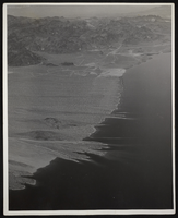
Photograph of an aerial view of Lake Mead, circa 1934-1950s
Date
1934 to 1959
Archival Collection
Description
An image showing an aerial view of Lake Mead amidst its home of rocky terrain. Varying rocky roads can be seen etched into the reservoir's shore.
Image
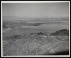
Photograph of an aerial view of Lake Mead, circa 1934-1950s
Date
1934 to 1959
Archival Collection
Description
An image showing an aerial view of Lake Mead amidst its home of rocky terrain. Varying rocky roads can be seen etched into the reservoir's shore.
Image
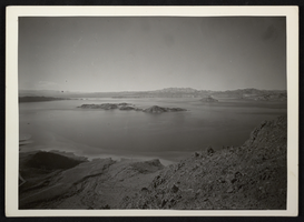
Photograph of an aerial view of Lake Mead, circa 1934-1950s
Date
1934 to 1959
Archival Collection
Description
An image showing an aerial view of Lake Mead amidst its home of rocky terrain. Varying rocky roads can be seen etched into the reservoir's shore.
Image
Pagination
Refine my results
Content Type
Creator or Contributor
Subject
Archival Collection
Digital Project
Resource Type
Year
Material Type
Place
Language
