Search the Special Collections and Archives Portal
Search Results
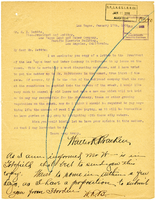
Letter from Walter R. Bracken to H. I. Bettis, January 17, 1908
Date
Archival Collection
Description
Text
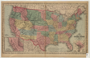
Map of the United States of America, 1859
Date
Description
Image
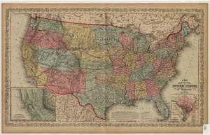
Map of the United States of America, 1856
Date
Description
Image
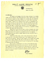
Letter from H. C. Nutt to San Pedro, Los Angeles, & Salt Lake Railroad employees, August 4, 1916
Date
Archival Collection
Description
Text
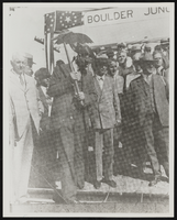
Dr. Ray Lyman Wilbur, United States Secretary of the Interior: photographic print
Date
Archival Collection
Description
Image
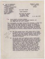
Draft offer of Las Vegas Valley Water District to purchase the water production lands and facilities of the Las Vegas Land and Water Company and the railroad, October 15, 1952
Date
Archival Collection
Description
Draft offer of Las Vegas Valley Water District to purchase the water production lands and facilities of the Las Vegas Land and Water Company and the railroad. R. L. Adamson's red pencil edits are handwritten. Accompanies letter (see Is referenced by). Draft has penciled corrections in the margins.
Text
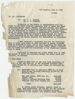
Letter from L. R. Maag (Los Angeles) to William Reinhardt, June 5, 1952
Date
Archival Collection
Description
Letter explaining the proposed relocation of water pipelines and powerlines off railroad land before the sale to the water district to enable future development of land. Reference to map shown below.
Text
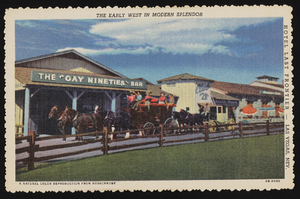
Last Frontier Village at the Last Frontier Hotel: postcards
Date
Archival Collection
Description
Image
Letter from William McDermott to C.O. Whittemore, November 29, 1902
Date
Archival Collection
Description
Text
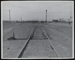
Railway switchyard: photographic print
Date
Archival Collection
Description
Image
