Search the Special Collections and Archives Portal
Search Results
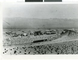
Photograph of Ludlow Yard, Nevada, 1912
Date
Archival Collection
Description
Image
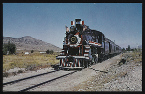
Nevada Northern Railroad's old No. 40: postcard
Date
Archival Collection
Description
Image
Art Rader Photograph Collection on Nevada Railroads
Identifier
Abstract
The Art Rader Photograph Collection on Nevada Railroads depicts railroads, mills, and depots in Nevada and Southern California from 1905 to approximately 1975. The photographs primarily depict the remnants of the Tonopah & Tidewater Railroad, the Pacific Coast Borax Company, and obsolete tracks, buildings, mills, and boxcars from the early-twentieth century. The photographs also depict depots and railroad intersections in Death Valley Junction, California and Crucere, California, and the photographs include the Union Pacific Railroad's tracks that were once part of the Salt Lake Railroad.
Archival Collection
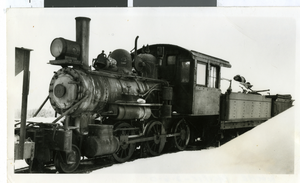
Photograph of Pioche Pacific railroad train, Jackrabbit, Nevada, 1949
Date
Archival Collection
Description
Image
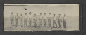
Photograph of a railroad survey crew, Clark County, Nevada, 1904
Date
Archival Collection
Description
Image
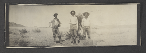
Photograph of a railroad survey crew, Clark County, Nevada, 1904
Date
Archival Collection
Description
Image
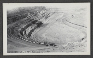
Photograph of a pit mine near Ruth, Nevada, circa 1934
Date
Archival Collection
Description
Image
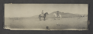
Photograph of railroad survey crew, Clark County, Nevada, 1904
Date
Archival Collection
Description
Image
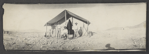
Photograph of railroad survey camp, Clark County, Nevada, 1904
Date
Archival Collection
Description
Image
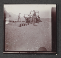
Photograph of railroad track construction, Nevada, circa 1903-1904
Date
Archival Collection
Description
Image
