Search the Special Collections and Archives Portal
Search Results
UNLV Libraries Collection on the Union Pacific Railroad in Las Vegas, Nevada
Identifier
Abstract
The UNLV Libraries Collection on the Union Pacific Railroad in Las Vegas, Nevada (approximately 1900-1989) contains employee rosters, bills of lading, and correspondence related to the Union Pacific Railroad in Las Vegas, Nevada. Also included in the collection are Union Pacific Old Timers Club membership lists and bylaws, as well as correspondence from Clark County Clerk to Walter Bracken congratulating him on the dedication of the new depot in 1940. The San Pedro, Los Angeles & Salt Lake Railroad Company and the Salt Lake and Ogden Railway are also represented in the material.
Archival Collection
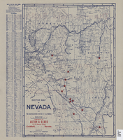
Sketch map of Nevada and the southeastern portion of California, 1906
Date
Description
Image
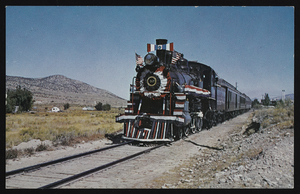
Nevada Northern Railroad's old No. 40: postcard
Date
Archival Collection
Description
Image
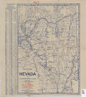
Sketch map of Nevada and the southeastern portion of California, 1906
Date
Description
Image
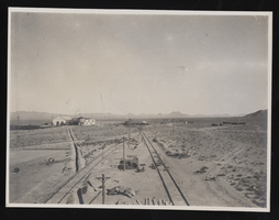
Railroad outside Millers, Nevada: photographic print
Date
Archival Collection
Description
Image
Nye County, Nevada Photograph Collection
Identifier
Abstract
The Nye County, Nevada Photograph Collection contains photographs from Nye County, Nevada from 1880 to 1990. The collection includes a wide variety of photographs that document the activities, landmarks, geographical features, towns, ranches, and families of Nye County. The collection covers the areas of Amargosa Valley, Ash Meadows, Beatty, Duckwater, Gabbs, Goldfield, Kawich Mountains, Manhattan, Pahrump, Round Mountain, Rhyolite, Smoky Valley, Springdale, Tecopa, Tonopah, and Twin Springs. The activities documented include mining, prospecting, herding animals, schooling, ranching, building construction, railroad construction, and hunting and fishing.
Archival Collection
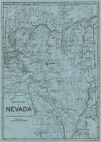
Sketch map of Nevada and the southeastern portion of California, 1906
Date
Description
Image
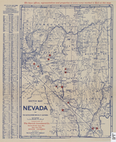
Sketch map of Nevada and the southeastern portion of California, 1906
Date
Description
Image
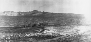
Panorama of Beatty, Nevada: photographic print
Date
Archival Collection
Description
From the Nye County, Nevada Photograph Collection (PH-00221) -- Series III. Beatty, Nevada -- Subseries III.D. Crowell Family
Image
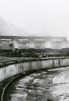
Photograph of roundhouse, Caliente, Nevada, circa 1930s
Date
Archival Collection
Description
Image
