Search the Special Collections and Archives Portal
Search Results
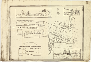
Map of the properties of the Tonopah Extension, Pittsburg Tonopah, Golden Anchor, and Red Rock Consolidated Mining Companies : Tonopah Mining District, Nye County (Nev.), 1901
Date
Description
Image
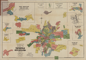
Map of the Tonopah Mining District, Tonopah (Nev.), 1903
Date
Description
Image
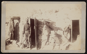
Captain Fagin, prospector in Esmeralda County, image 002: photographic print
Date
Archival Collection
Description
Image
Sadie and Hampton George Papers
Identifier
Abstract
The Sadie and Hampton George Papers (1874-1948) consist primarily of the incoming and outgoing correspondence of Sadie Kiel George and her husband, Hampton George, regarding proposed land and mineral rights sales. The collection also includes some personal correspondence, and two of the most significant letters in the collection deal with the deaths of brothers William and Edward Kiel, Sadie's uncles, who were found dead at the Kiel Ranch in October 1900. Also included in the collection are receipts, cancelled checks, tax notices, mining claims, and land deeds.
Archival Collection
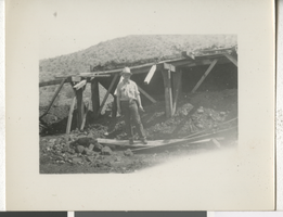
Photograph of a person in a mine, early 1900s
Date
Description
Image
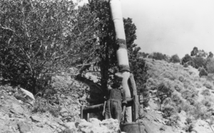
South Gold Hill above Eden Creek in the Kawich Mountains: photographic print
Date
Archival Collection
Description
From the Nye County, Nevada Photograph Collection (PH-00221) -- Series VI. Tonopah, Nevada -- Subseries VI.D. Terrell Family. High-grade gold ore was found just below the top of the hill and a shaft was sunk. Note the windlass hoist, cranked by hand, and the pipe going down to the shaft to draw air into the hole for ventilation.
Image
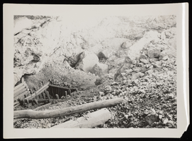
Photograph of mine entrance, Sheep Mountain, 1931
Date
Archival Collection
Description
Image

Photograph of mine, Goldfield (Nev.), 1905
Date
Archival Collection
Description
Image
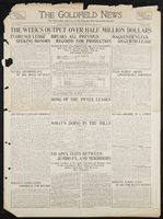
Goldfield News: newspaper issue
Date
Archival Collection
Description
Text

Correspondence, Levi Syphus to Sadie George
Date
Archival Collection
Description
Text
