Search the Special Collections and Archives Portal
Search Results
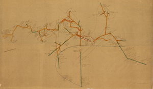
Map of the 450 foot level of the Mohawk Mine, Goldfield, Nevada, circa 1902-1908
Date
Description
Image
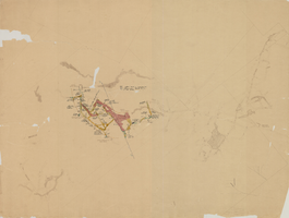
Map of the 280 foot level of the Combination Mine, Goldfield, Nevada, circa 1902-1908
Date
Description
Image

Film transparency of Potosi Mine, Nevada, 1917
Date
Archival Collection
Description
Image
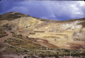
Slide of Carlin Mine, Nevada, circa 1960s
Date
Archival Collection
Description
Image
Southern Nevada Historical Society Photograph Collection on Basic Magnesium, Inc.
Identifier
Abstract
The Southern Nevada Historical Society Photograph Collection on Basic Magnesium, Inc. contains photographs of the construction of Basic Magnesium Inc.'s plants and buildings from 1941 to 1942. The photographs primarily depict aerial views of the plant site and various buildings, including the administration building, tent camp, chlorination buildings, electrolysis facilities, electrical distribution systems, and warehouses. The photographs also depict Lake Mead and the early buildings in Henderson, Nevada.
Archival Collection
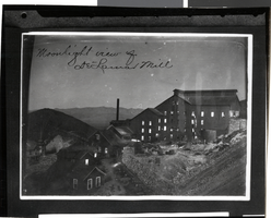
Photograph of Delamar Mill, Nevada, circa late 1800s
Date
Archival Collection
Description
Image
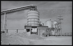
Mining operation in the Amargosa Valley, Nevada: photographic print
Date
Archival Collection
Description
Image
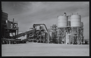
Mining operation in the Amargosa Valley, Nevada: photographic print
Date
Archival Collection
Description
Image

Mining operation in the Amargosa Valley, Nevada: photographic print
Date
Archival Collection
Description
Image
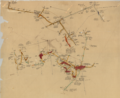
Map of the 600 foot, or third, level of the Clermont Mine, Goldfield, Nevada, circa 1902-1908
Date
Description
Image
